Warning: The following trip report depicts poor planning, long road walks, and minimal scenery. It also features a despicable, though inadvertent, act of vandalism. There will be no uplifting epiphany at the end. This was one of the worst backpacking trips of my life, and was doomed to failure from the start. You have been warned. Read on at your own risk.
____________________________________________________________________
I’ve had a pretty good run of backpacking trips in 2011. Some of the more memorable ones have included the Mountains to Sea Trail in NC, Michigan’s Shipwreck Coast, the Tongass National Forest in AK, and the Northville-Placid Trail in the Adirondacks. Each of these was meticulously researched and then executed in a narrow window of opportunity. I was on a backpacking high.
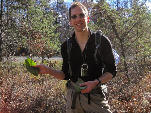
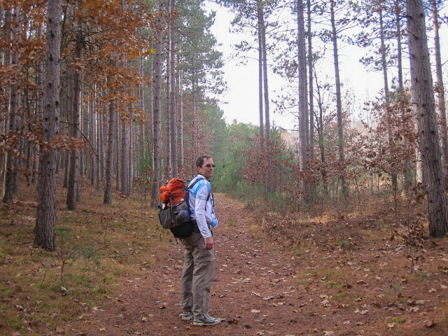
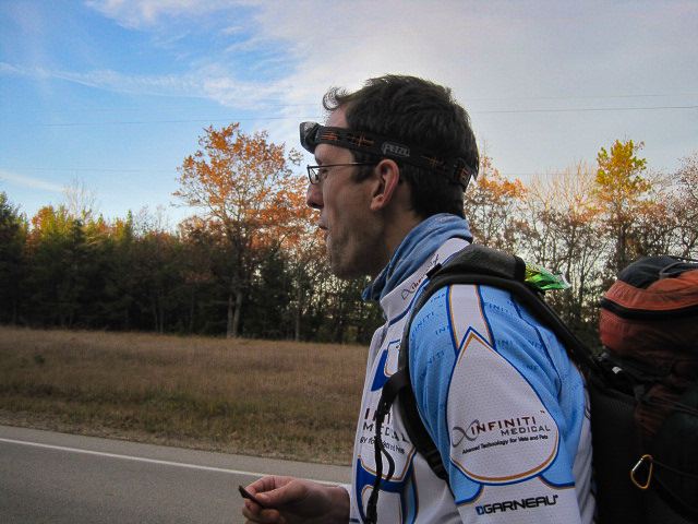
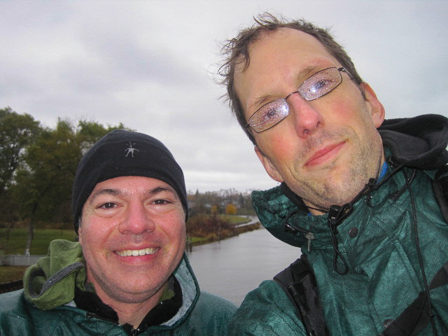
As deer hunting season approached, signaling an end to hiking for a while, I began looking for something spectacular to finish out the season. What I came up with was a combined backpacking and canoeing trip along the Ausable River. Logistically, it would be simple, more of an idea than a specific route. Drop a canoe upriver near the town of Mio then drive down to the starting point in Oscoda where the Ausable met Lake Huron. Hike to the canoe along a variety of trails (and roads if needed) and then float back to the car. Each leg of the trip would be approximately 57 miles and I thought I could execute it in 3 days. Given the concerns about a November river trip in Michigan, I decided to call upon a good friend, M, to come with me. I’ve known M for about 8 years. We are polar opposites in both appearance and temperament, but somehow tend to balance each other out. He’s excitable, volatile, animated, extroverted, and tall; I am not any of those things. At work they call us the “hurricane” and the “eye of the storm”. He’s the hurricane. M has relatively little backpacking experience, but is an avid ultrarunner, triathlete, and adventure racer. I was confident that he had the skills needed to complete the trip without a problem. In fact, I was a little worried that I would be a liability during the trekking portion of the trip. M had recently run 40 trail miles in about 6 hours and I knew that distance would take me an entire day at best.
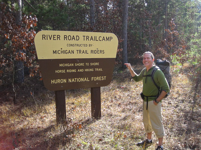
As I researched the trip, I found a poorly described trail, the Michigan Shore to Shore Riding and Hiking Trail, that would take us most of the way. Unfortunately, there were no online maps or trip reports available and the guidebook description (Backpacking in Michigan) was vague. As it turned out, the book description was so inaccurate that I now question whether the author in fact hiked the trail through this section. There was a map available for purchase through the Michigan trail riders association, but their website was down and I was not able to complete the transaction. Still, what could go wrong? The river would always be to our north for navigation, and we would never be too far from a road (River Road) if needed.
The weekend before the trip, I had the girls (3 and 5 years old) all to myself while my wife was out of town at a craft show. This was the perfect arrangement. I got to spend some quality time alone with the kids while my wife did something she liked, and then I got to go on my trip guilt free. We colored, went out for lunches, played at parks, went to a bounce house, and cooked dinners together. After they were in bed, I went over my gear list, packed, assembled meals, and loaded the canoe onto my car.
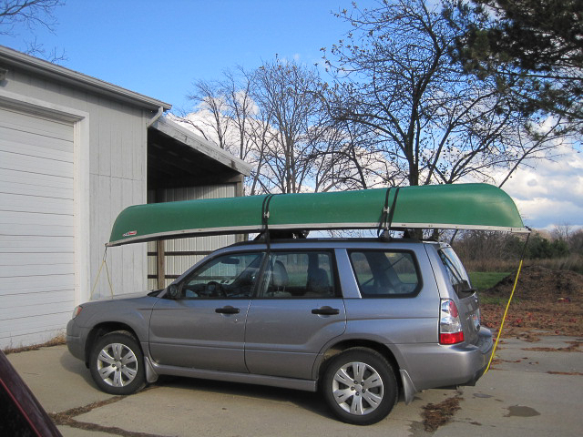
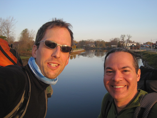
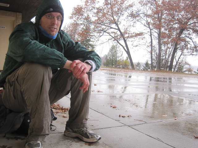
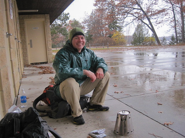
M and I arranged to meet at 2:30 am Monday morning for the drive north. I would bring food, a tarp, cookpot, and stove, and he would bring his personal gear (clothes and sleeping bag). When I arrived at our rendezvous, M was nowhere to be seen. I gave him a call and he answered in a sleepy voice. He had overslept! This was more than just inconvenient, as M had recently confessed that he needed to be at work on Thursday, leaving us no buffer to complete the trip. If we weren’t done in 3 days, we wouldn’t finish at all. M promised to get there as quickly as he could. In the meanwhile, I gassed up the car and bought us some fast food for the ride.
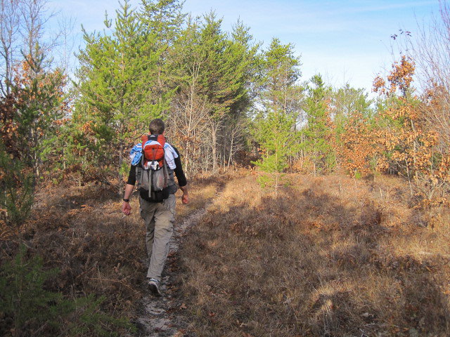
Finally we were en-route, making it to the canoe drop site at the McKinley horse camp by about 6 am. It was still dark so we didn’t have a good sense as to what obstacles might lay between us and the river. After stashing the canoe, we continued on to Oscoda, arriving at about 7:30 am. We drove to the bridge on Route 23 over the Ausable River where the guidebook said the trail would cross, but there was no evidence of a trail. We drove around for some time looking for markers and finally ended up just parking near the river. Time was a-wasting; we would have to find our own way. The maps we had didn’t show the riding trail, but did delineate some ORV trails, so we headed in that direction, figuring we would meet up with the riding trail later.

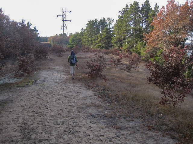
headed toward the industrial park where we hoped to find one of the ORV trails
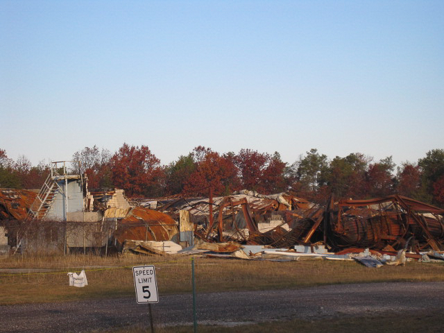
Fading fall colors were evident as we entered the park. You can just barely make them out behind the giant piles of garbage and rubble
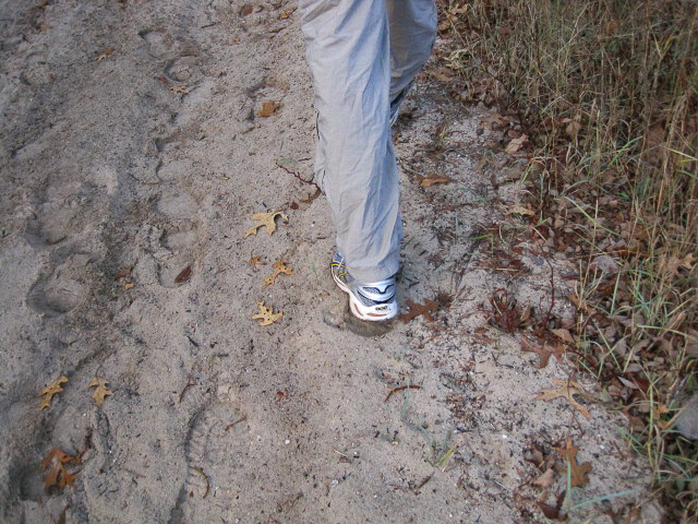
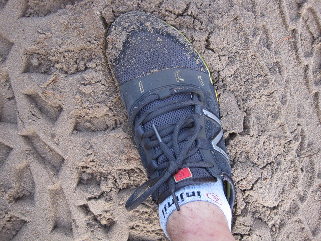
Soon we found the first the first of the snowmobile routes and finally entered the woods. As it turns out, hiking on an ORV trail is about as pleasant as walking through a cat litter box. The trail was deep sand and difficult walking. I could feel my shoes filling uncomfortably with each step.
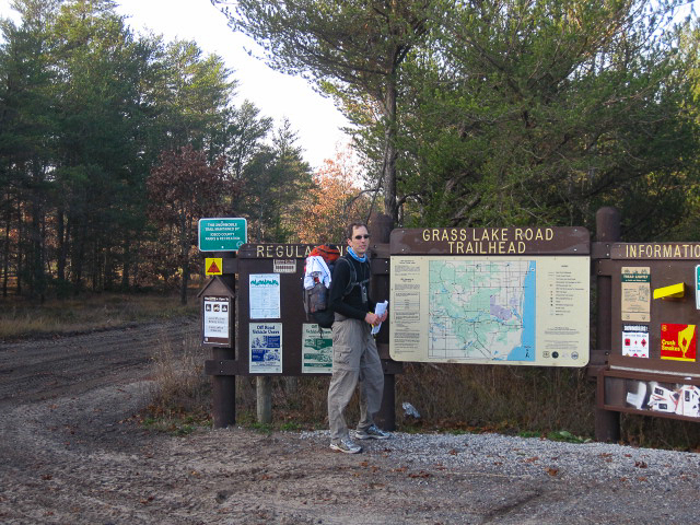
After about a mile, we saw a trailhead and ran to it eagerly. It was the Grass Lake Trailhead. Someone we had asked in town had suggested that the riding trail might start here. They were wrong.
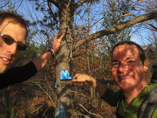
So we continued along another ORV trail. The sand continuously shifted beneath our feet necessitating wasted energy to maintain traction. Still, we were making forward progress. Finally, after about an hour, we reached a road crossing. There, to our delight, we found our first shore to shore trail marker.
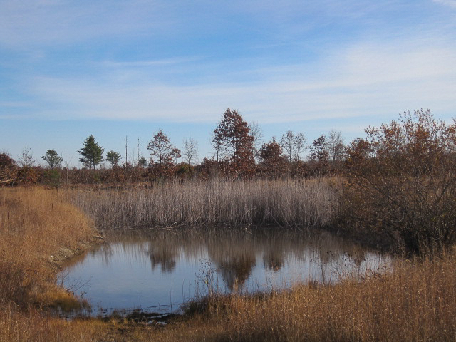
We passed a small pond. Although it was kind of like a large mud puddle with some rushes growing behind it, it was our first official “scenery” so I eagerly photographed it. From there, the trail passed through a large clearcut.

In a treatise on backcoutry footwear, Dave Chenault put forth the argument that gaiters should always be worn in the backcountry to “keep crap out of your shoes”. While I was not eager to add gear to my list, the more I hiked in minimalist shoes, the more I was starting to believe he was right. Wearing sandy injinji socks had a similar effect to scouring in between your toes with sandpaper.

The trail continued into a pine forest, where it remained for the rest of the day. Periodically, we would hit a road crossing, only to continue on into, you guessed it, another pine forest. This soon became a running joke. Anything that was not a pine tree became worthy of comment, by virtue of the fact that it was something different. Spotting an old mattress left on the forest floor, we spent about 10 minutes speculating on who put it there and for what purpose.
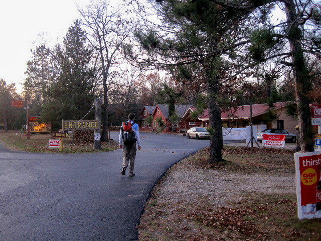
Four hours into the trip, we exited a pine forest into a large campground. We eagerly hunted for a water source, as the trail had thus far been devoid of water despite expectations to the contrary given our anticipated proximity to the river. We found a water faucet, but it required a generator to run.
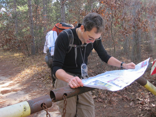
M, the self-designated navigator, stopped at a gate across the trail, pulled out the map, and attempted to figure out exactly where we were
The trail continued into yet another pine forest. Alarmingly, we were noticing an increasingly southern turn to the trail. Our canoe was to the northwest, so following the trail was starting to add distance to our trek.
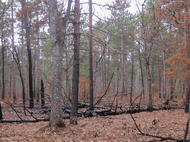
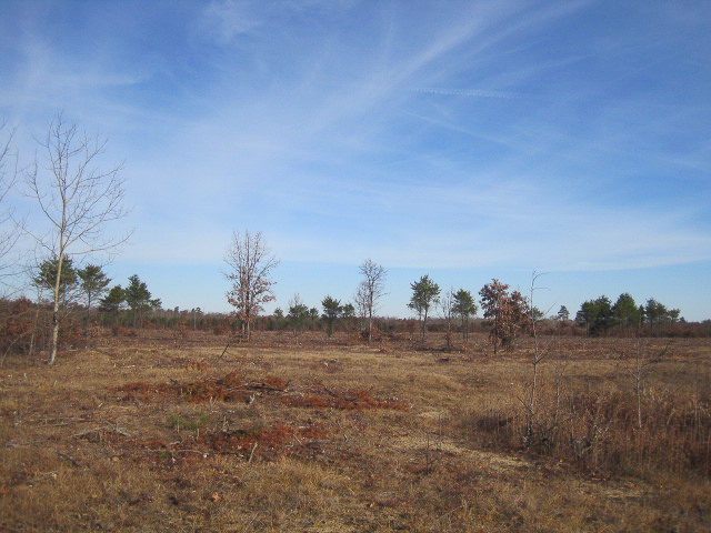
Another road crossing and another pine forest. For a change, these pine trees were charred as a result of a controlled burn in the past. Remember, anything different is good, right? Signage indicated that the burn had been performed to decrease fire risk and to increase the wild blueberry crops??!
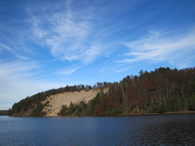
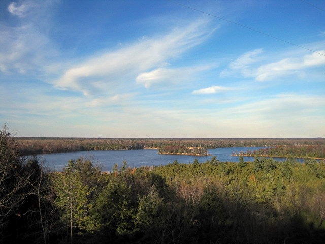
Now the trail was headed due south. That was enough for us. We had a lot of miles yet to do today and decided to make our way north to intercept the Highbanks Trail, a trail that, not surprisingly, followed the high bank of the Ausable River. We cut down to the river by the Lumberman’s Memorial to fill our water bottles, then continued on. With a more direct and scenic route beneath our feet, we were both feeling better about how things were going.

After tanking up on water, we began a seemingly endless road and powerline hike. Darkness fell and M’s mood did too. He started talking about bailout points, missing his wife and kids, and then more bailout strategies. We had not covered as many miles as we had planned (success relied on finishing at least 40 today) and he became convinced that we couldn’t finish the trip in time. We had hoped to hike well into the night, but he was feeling some leg soreness, and I was concerned that I was developing a metatarsal stress fracture (persistent top of the foot pain). We estimated that we had covered only 30 miles thus far, but would have to stop soon.
I listened to M’s thoughts spiraling downward, sensing the beginning of the end. I knew he wasn’t having fun right now, and it was hard to watch. I periodically tried to snap him out of it, tried to convince him that we didn’t need to make any drastic decisions now. We would pass more than enough river landings in the next 2 days where we could bail if we needed to. M pointed out that in the darkness we had not been able to visualize the river from our canoe drop point, and while it looked close enough on the map, we might be facing a big canoe portage before we could launch if the terrain was unfavorable.
The final straw came when we saw a cabin light in the distance. M began to hurry toward it. He had totally lost it. “We can’t make it, dude! We’ve got too far to go, you’re starting to limp, and I’m not having much fun. I’m just going to go over there and arrange transport for tomorrow.” I tried to convince him to stop. It was night time and this was someone’s house. As he reached the porch, he finally came to his senses.
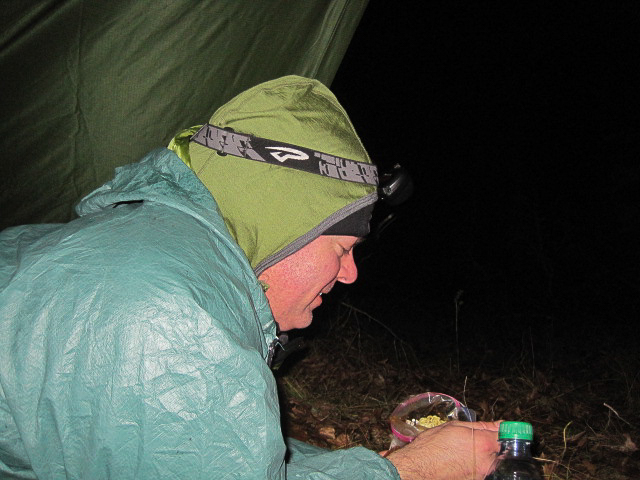
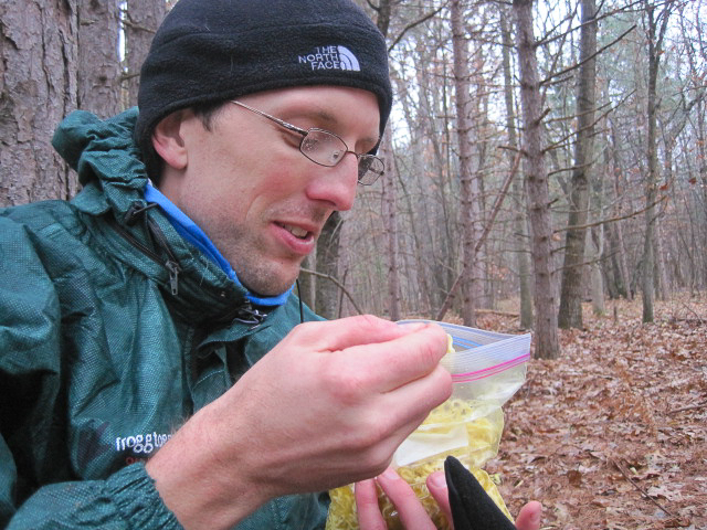
We headed into the woods and pitched the tarp. Soon we had water boiling and dinner rehydrating. I was pretty excited for this meal. After enough unsatisfactory experiences with commercial foods on high mileage trips, I had recently purchased a dehydrator and had been playing around with more nutritious versions of favorite backpacking meals. Tonight’s menu featured whole grain angel hair pasta tossed with a spicy homemade San Marzano tomato sauce and accented with white meat chicken. Extra virgin olive oil was then lovingly drizzled (doused) on top. It was amazing! Spirits lifted as we devoured the food. Sleep soon followed.
We woke to the sound of rain drumming down on the tarp. Rest and food had worked their magic, and we discussed our options rationally. M was adamant that he could not risk being late for work on Thursday and proposed his plan. “Let me understand this”, I said, “You want to backtrack to the party store, call around to canoe liveries, try to find someone who will drive us to the canoe, pick it up, drop it off lower on the river, and then we float out?” “It could work“, he said, “Besides, we’ve already failed.” I countered with my theory. You walk into the woods on your own two feet and regardless of what happens you walk out the same way. Plans change. It’s part of the adventure. It’s only failure if you need to involve someone else. Besides, canoeing season was over and all the liveries would be closed.
Agreeing that we would probably not be able to finish the canoe leg of the trip given the limited number of daylight hours remaining in the next 2 days, we settled on heading back in the direction from which we had come. M would make some inquiries at the party store, and then we would hike out.
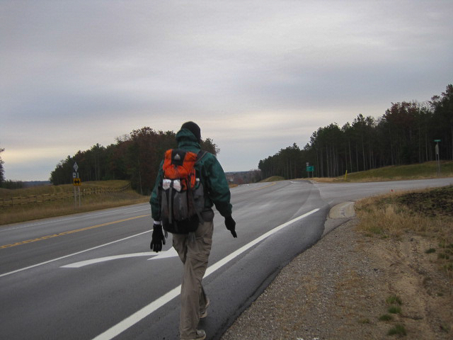
Several hours later, I was drinking coffee on a picnic table out front of the party store while M talked to the store owner. Town’s closed, not many people around, he was told. Good enough for us. We continued the long trek back. It was cold, windy, and wet as we took the road back to the Highbanks Trail.

Once on the soft forest trail, we began alternating 5 minute runs with 15 minute walks. It was nice to do something proactive, and using different muscles felt strangely better on legs and feet. The Highbanks trail passed quickly and soon we were back on the Shore to Shore.
More rain, and we began to feel chilled. We soon passed an empty campground. It was probably closed for the season, but there was a large opening in the fence and we could see a bathroom structure with a roof. Perfect place to get out of the rain for some hot soup.
As the water boiled, I went into an open bathroom to take advantage of this LNT opportunity to avoid going in the woods. Uh oh. As I went to flush, nothing happened! The water must have been shut off for the season. I had just inadvertently vandalized the women’s bathroom. I felt really bad, picturing what someone would find when they came to reopen the place next season.
Outside, the water was boiling and we rehydrated some soup. Just then, a maintenance truck drove by on the service road, slowing to look at us before moving on. Picturing a call to the police going out on the radio, we decided to head back into the woods, quickly, to finish our lunch.
After lunch, we hiked on in a haze of cold, wetness, and pain. Time seemed to stand still. Once again, anything different became the topic of conversation. “That’s a big bird” “Yes, it is” “I think it’s an eagle” “No way it’s an eagle, it’s just a big crow” “Too big to be a crow, dude” and so on. Four hours later, we were entering Oscoda. One highlight was finding where the Shore to Shore Trail actually passed through town (It parallels Ausable Road in the woods)
We drove the 55ish miles back to McKinley and picked up the canoe. Along the way, I thought about the many ways that this trip had gone wrong. Foremost was the unrealistic timeline. I had some flexibility in extending the trip in the event that we didn’t make it, M did not. I think this was the biggest determining factor in our decision to bail. Other problems included a lack of detailed knowledge of the area, a lack of scenery to bolster spirits while hiking, weather that would not have been fun to paddle in, and differences in hiking style and experience. I tend to thrive on situations that go badly and require innovative solutions or perseverance, but I recognize that this may not be enjoyable for others. For me, the least fun situation to be in is the one where you are with someone who is not having fun.
I spent a few days trying to decide if I would write this one up. Poor photography and failed efforts do not a stellar trip report make. The reason I ultimately decided to post was to serve as a reminder that while they don’t all turn out well, we can learn from the errors we make and move on. My enthusiasm for planning the next trip is certainly undiminished. In the end, I learned a lot from this trip, got to spend two days with a good friend, and we accomplished back to back 30s. Not too shabby.I am sure that, eventually, we’ll be laughing about this trip for years to come.