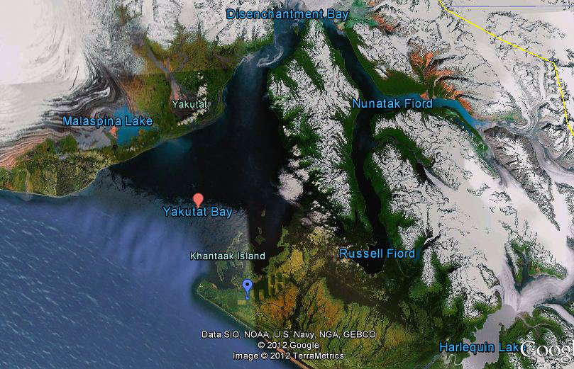
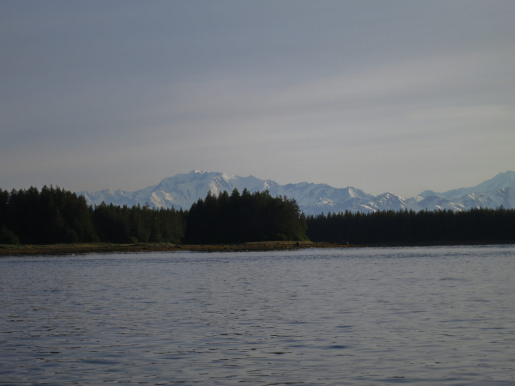
The city of Yakutat lies in the Gulf of Alaska at the mouth of Yakutat Bay, approximately 200 miles from Juneau. The largest city in the United States by area, Yakutat is home to only about 600ish full time inhabitants. I was traveling to Yakutat for work as I did every year at this time. It was no coincidence that this visit coincided with some of the major salmon runs.
As a professional and a father of two young girls, time was always at a premium. I had therefore learned not to waste any opportunity to get out into the backcountry. In the five years I had been going to Alaska, I made sure to always tack on a couple extra days for myself. This year was no different. I had my sights set on a chain of islands off the coast of Yakutat. Khantaak Island was the largest of these, and I designed my route around its beaches and bays.

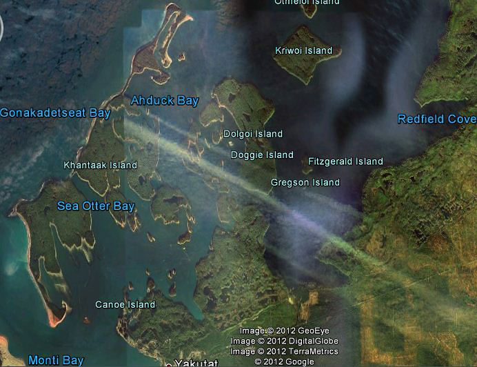
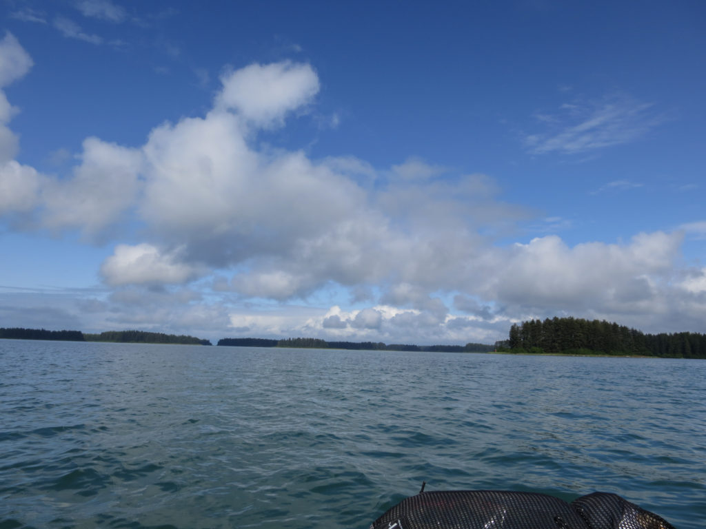
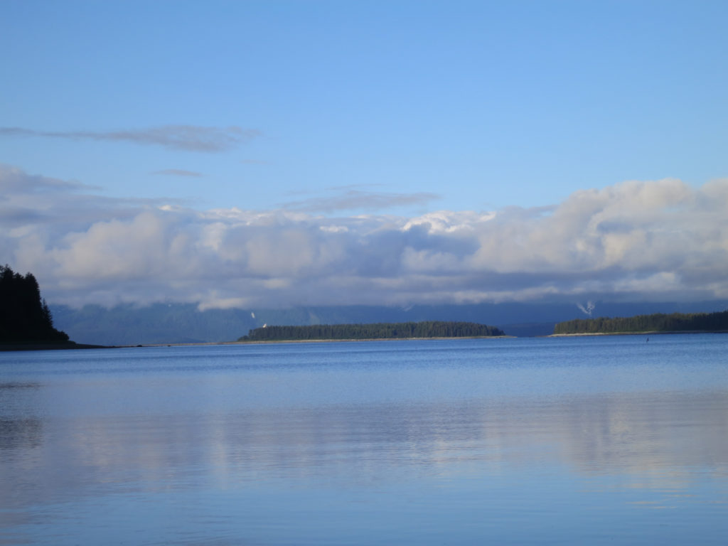
I planned to begin my ocean journey on a jutting prominence not far from Shipyard Cove, crossing the bay to land at Graveyard Cove on the southwest corner of Khantaak Island, a paddle of approximately 2 miles. From there, I’d hike clockwise around the island until I reached the northeastern-most point. Continuing around the point, I’d launch into Ahduck Bay in search of Gonakadetseat, a waterway that would hopefully take me through the island’s interior. To fully take advantage of the island’s bounties, I designed my menus around the possibility of fresh seafood. In addition to some home dehydrated staples, I had purchased a shrimp/crab net and packed a number of swimbaits I thought would do well for the coho salmon that should be amassing in the bays.
With two days to go, I could feel that familiar angst starting to build. I had come to know this feeling well in recent years- it signaled an imminent departure from my comfort zone. I dreaded this feeling and needed it. It told me that I was alive. I had no experience with ocean packrafting, and not really all that much experience with packrafting in general. I had also not been able to find much beta on the islands. What challenges might I encounter?
One colleague thoughtfully suggested that I’d probably get pulled out to sea. Another stole the image of a great white shark going airborne with a seal in its jaws and carefully photoshopped a picture of my packraft into its mouth. I voiced my concerns to my wife who then began to worry about bears. She later posted the following on facebook, “Sometimes I wish my husband wouldn’t tell me about the solo adventures he has planned..”
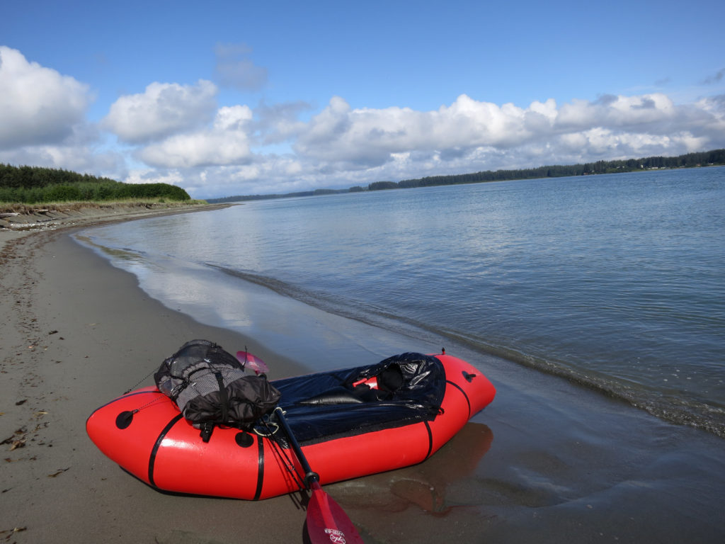
I hopped a couple of planes the next morning, arriving in Yakutat by 11 am. Unfortunately my luggage did not. I waited patiently as an airline agent attempted unsuccessfully to locate it. She promised that they would get it to Yakutat as soon as it was located- hopefully within the next 2 days. I was quietly devastated. I had been planning this trip for almost a year, and had overcome significant doubts to make it happen. Back at the lodge, I took stock of my assets. I had brought my backpack as carry-on, and inside I had my packraft, paddle, vest, tarp, quilt, raingear, water bottles, and fleece. I also had a can of bear spray stashed at the lodge from last year. Items lost with my luggage included: pot (as in cooking vessel), stove, food, knife, stakes, compass, maps, firestarter, emergency kit, packraft repair kit, fishing gear, crab net, tripod, spare clothing, and shoes.
As I sat dejected at the lodge contemplating calling off the trip, I knew two things. I did not have enough gear to complete my route in the style I had planned, and I would not be satisfied with this visit to Alaska unless I made some attempt. Help came unexpectedly from others staying at the lodge. First a lighter, then an antique compass, a fishing rod and spinners, a printed satellite image to use for navigation, a rusty bait knife, some aluminum foil to cook with. Almost ready to go, I suddenly realized that I had no footwear. I had worn sandals on the plane and these would be a decidedly unwise choice for bushwacking in Alaska. “We’ve got a whole bunch of rubber boots on our deck that no one’s using,” one Texan offered. “Pick any pair that fits”. Game on, I thought.


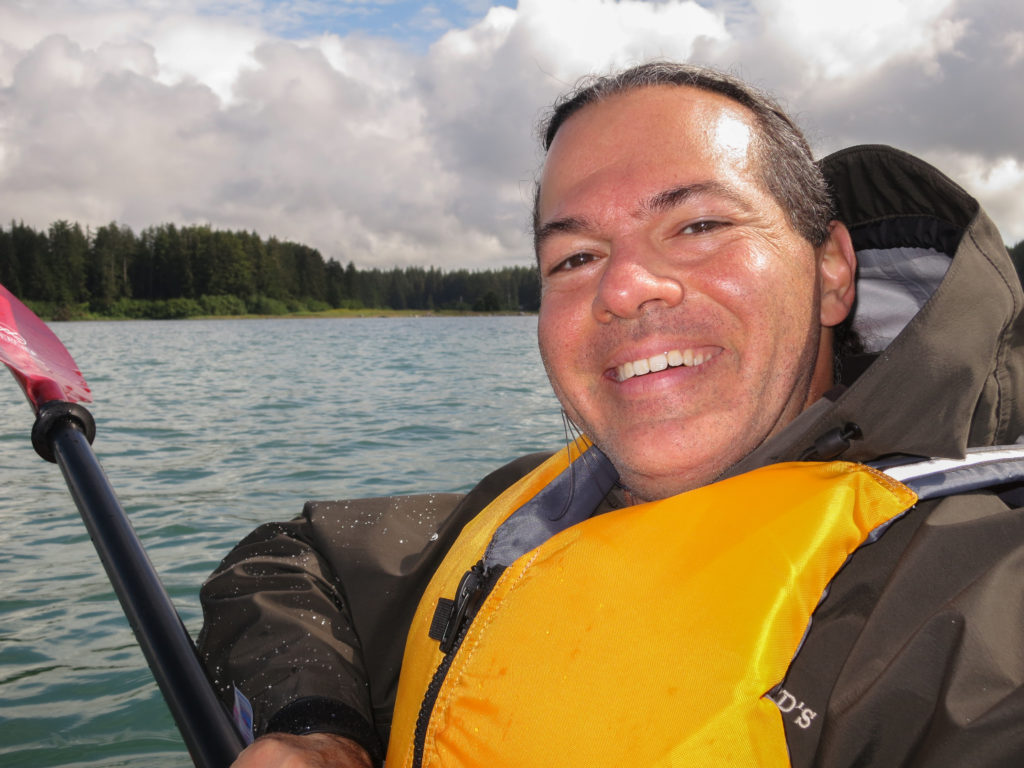
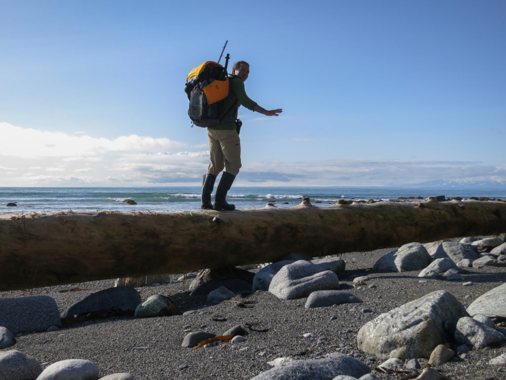
I was elated to have salvaged my trip. As I bobbed in the waves though, I thought about the items I had not managed to replace. Cookware and food were at the top of this list. I did have a handful of Larabars I had brought on the plane with me, but those wouldn’t last for long. However, I was comfortable with the idea of foraging, and knew from experience that I would be fine for a couple of days without much if need be. I was a little more concerned by my lack of a packraft repair kit. All it would take was one sharp barnacle to leave me stranded. Should’ve tried to buy some UV aquaseal from one of the fishermen- I bet somebody must have had a tube for wader repair. I rationalized that in the event of a leak I’d have to get to shore anyway to make the repair. I had left a detailed route with people who were counting on me for work in 2 days. Worst case scenario would find me sitting on an island waiting to be picked up in one of the Lund boats. To avoid unnecessary embarrassment though, I silently vowed to be exceptionally careful.
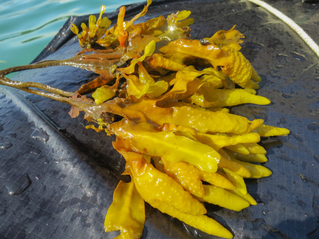
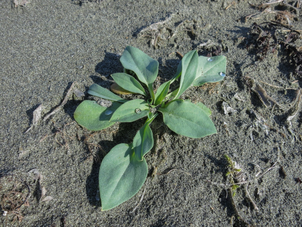
Knowing that I might have to work a little to get food, I took advantage of some bladderwrack floating in the bay. If you can get past the mucilaginous goo that fills the inflated bladder-like tips, the flavor is not all bad. I briefly wished for the bottle of sesame/soy/mirin I had placed in my lost food bag back home, when I had envisioned the possibility of a seaweed salad.
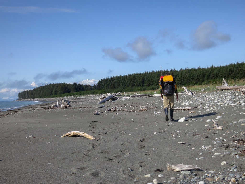
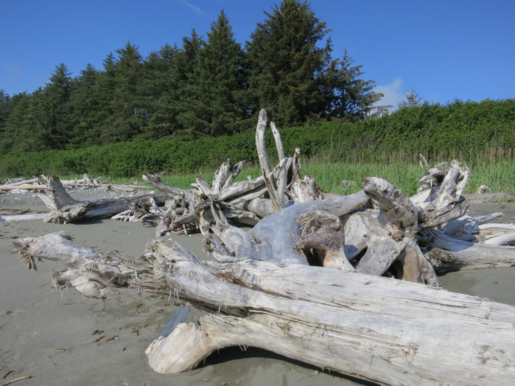
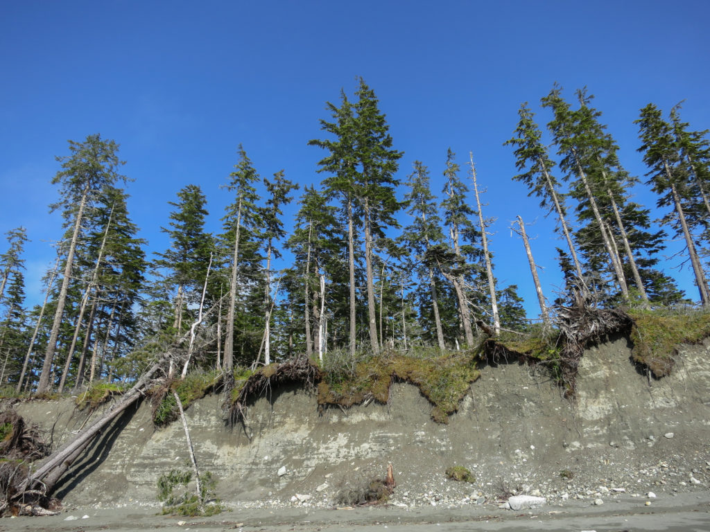
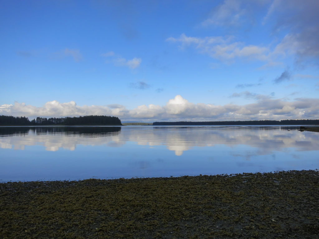
This section was one of my favorites on the island. A nice sandy beach, lots of deadwood sculpture, beautiful seascapes. In retrospect, this would have been one of the better spots on the island to have camped had it been later in the day. Rounding Munoz Point, the shoreline would become rocky and the islands interior swampy, with few places to camp comfortably.
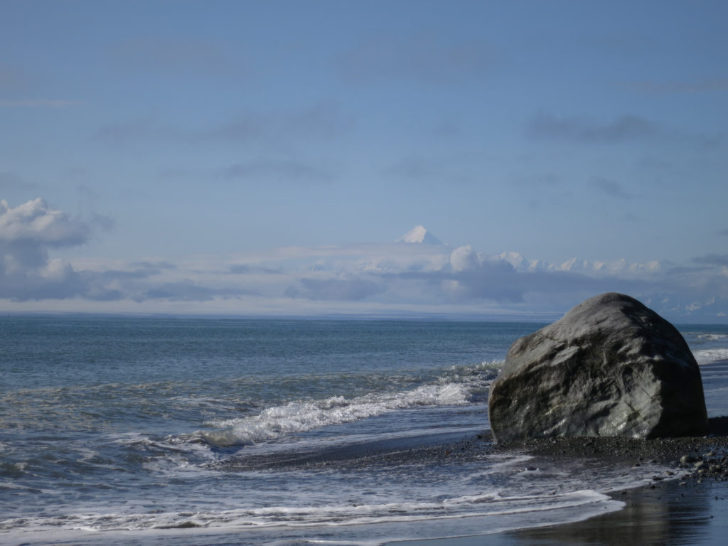
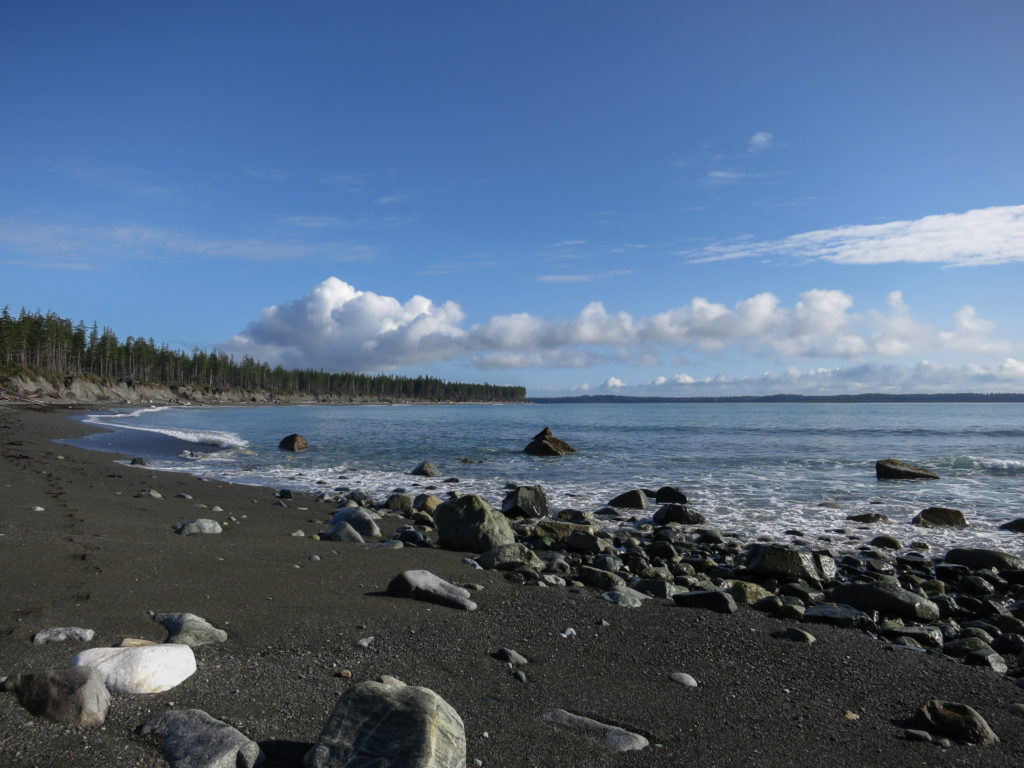
Rounding Munoz Point, the beach became an obstacle course of bowling ball sized boulders and my rate of forward progress slowed. Looking oceanward, I saw a humpback whale breach, making a huge splash.

Unsure of fresh water availability on the islands, I was carrying 3 liters with me. In this section, I found of number of fresh water rivulets making their way oceanward from the island’s interior.

From Ahduck Bay, I reboarded my packraft and made my way into Gonakadeseat Bay. Almost immediately, the character of the water changed. It was sheltered and still, with a myriad of tidal sealife. As water become progressively shallower, I began to worry about slicing up my packraft and came to shore to proceed on foot.
It was now about 8:30 pm and I was starting to think about stopping for the evening. It was then that I discovered I was not alone on the island.

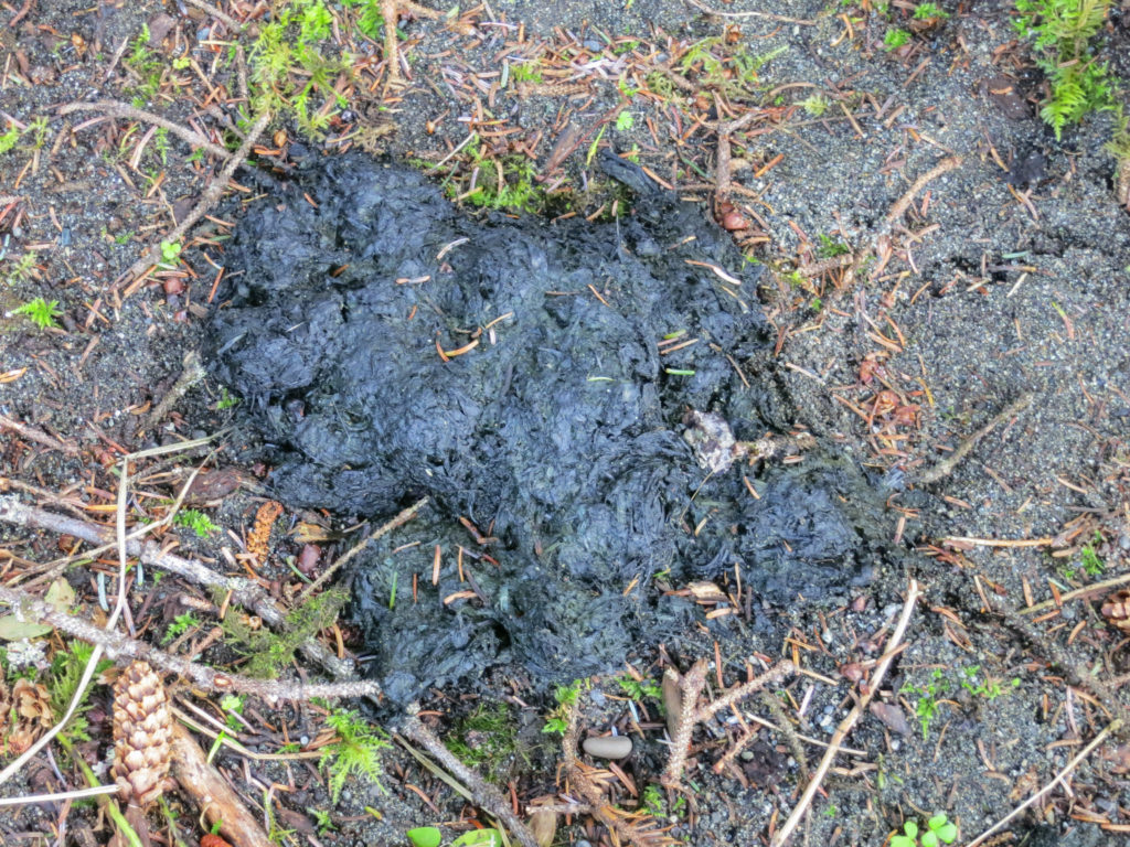
I had anticipated the possibility that at some point in the past, bear had swam out to the island and I was consequently armed with bear spray. All the same, I would have preferred not to have found evidence of one so close to where I was planning to sleep.
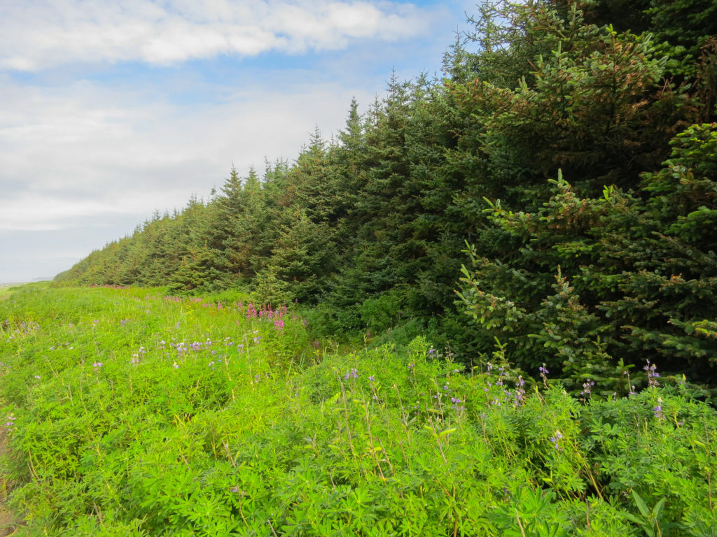
I would soon learn that while the rest of the country was experiencing one of the mildest snow years in recent history, Yakutat had gotten pounded with over 30 feet of snow. Spring had been late in coming this year, and the flora was several weeks behind schedule. The berries were not yet out, and bears had been subsisting almost entirely on vegetation. There would be some hungry bears this year.
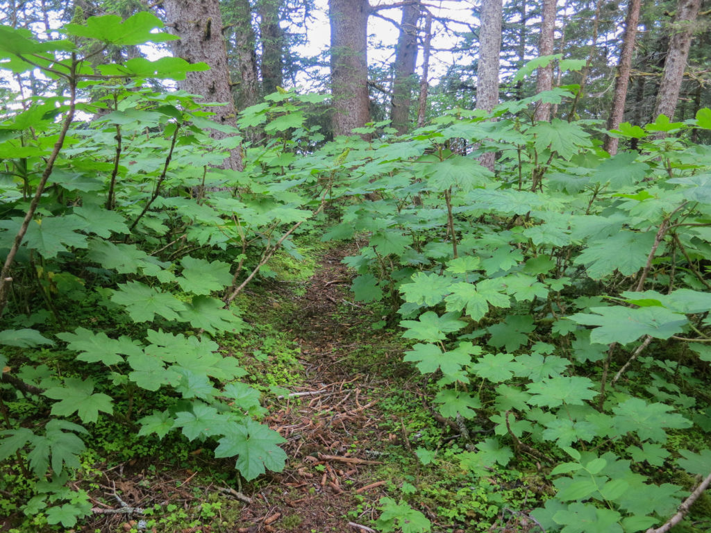
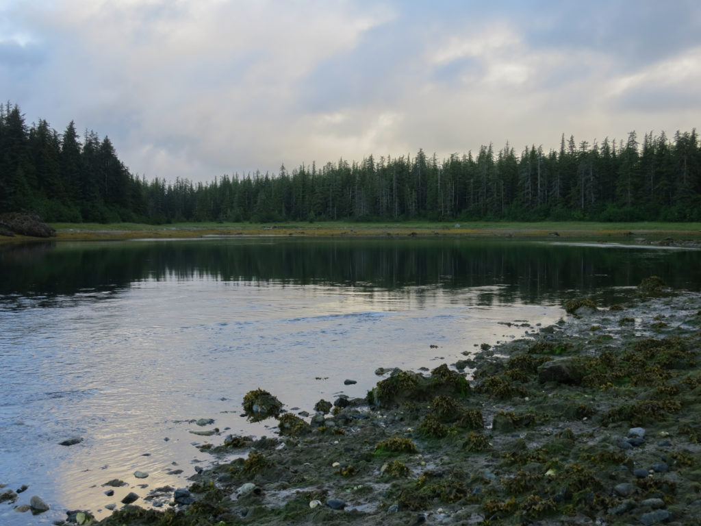
For weeks I had been carefully studying Google Earth images of my route, and had identified this area of Gonakadeseat Bay as a potential problem from the standpoint of possibly needing to portage through a tidal zone. As it turned out, the problem was in finding it.
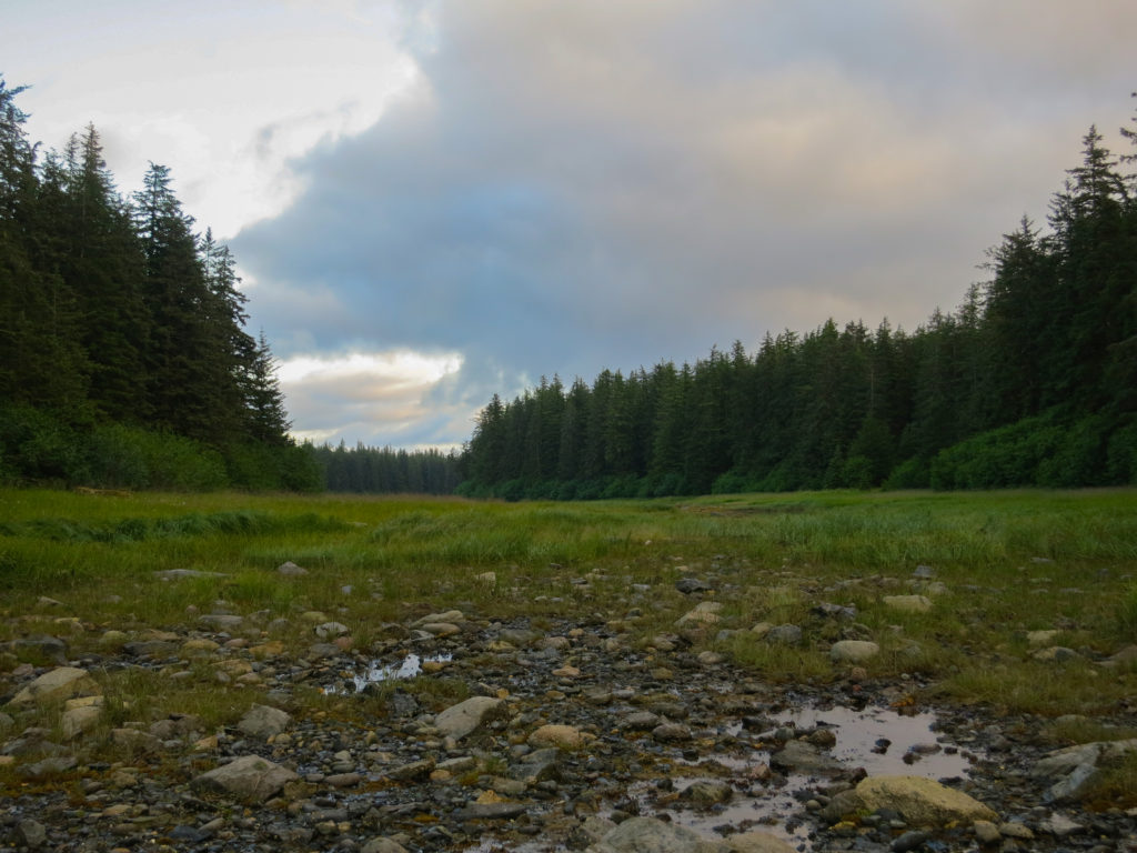

Sitka (black tailed) deer looked on with interest as I searched for a campsite. Ever since entering the island’s interior, the ground had been uncomfortably swampy. I found evidence of a deer lay where the grass was a little thicker and, though the ground still squished underfoot, decided to call it good.
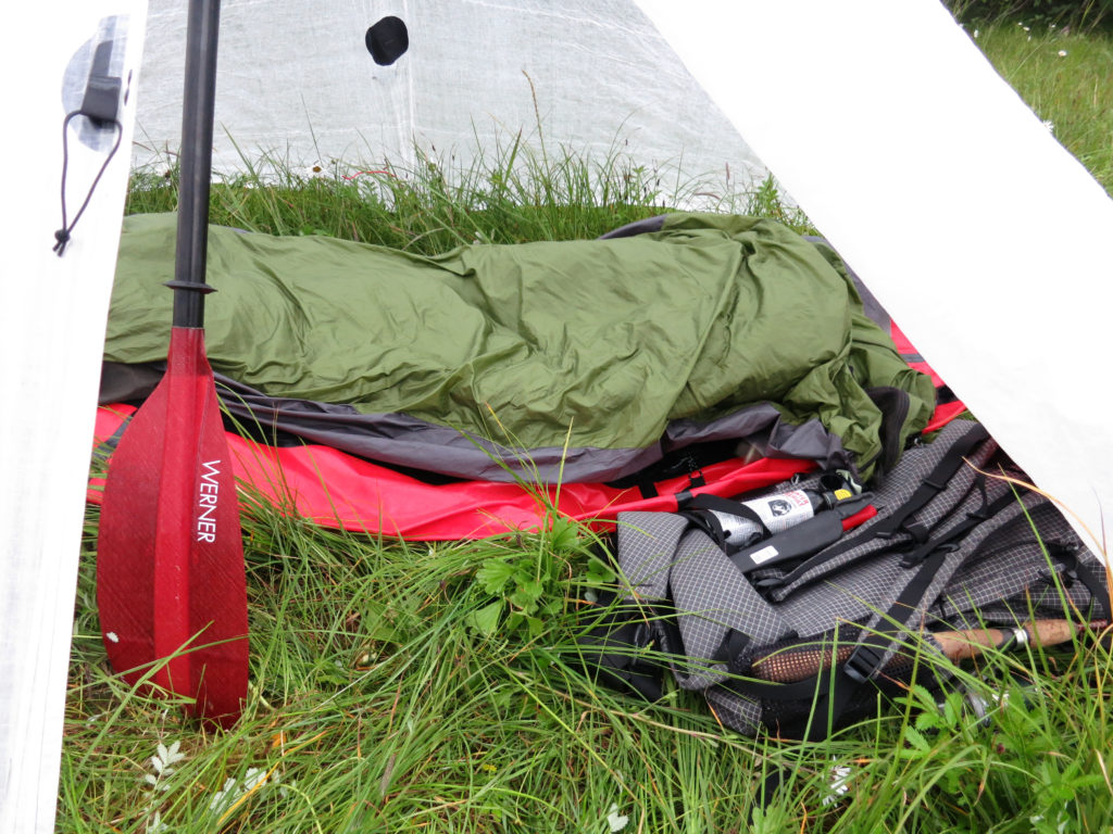
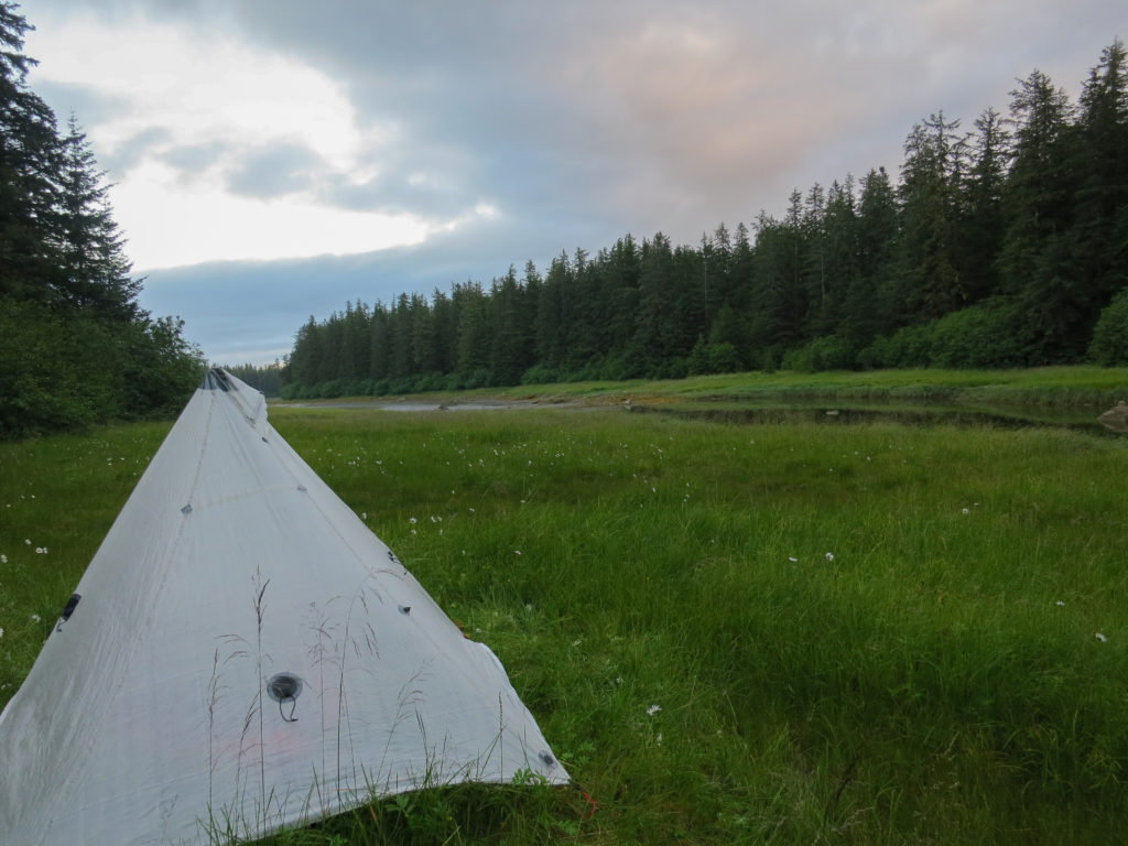
I threw down the raft to use as a water impervious ground cover and placed my life vest on top as a sleeping pad. I could get my hip on one chest pad, my torso on the back panel, and my shoulder on the other chest pad for some reasonable cushioning. Bear spray (and rusty old knife for good measure) were positioned within easy reach on my backpack.
As I set up my duomid in the swamp, I was quickly discovered by the local mosquito population. Soon, the entire mid was full of humming skeeters. I zipped myself into my bivy, taking care to lift the mesh panel off of my face. I was mostly able to keep the mosquitoes from biting, but couldn’t muffle the sound of their bloodthirsty droning as they tried to find a way through the to me. By midnight, it was cold enough that they left me alone. Sleeping in a deer lay had its own disadvantages though. I was visited by Sitka deer throughout the night, waking each time convinced that a bear was upon me.

I awoke with finality at 4 am (it felt like 8 am, my time). Although the moon was still high in the sky, it had never truly gotten dark. As I could see pretty well, I decided to move on.
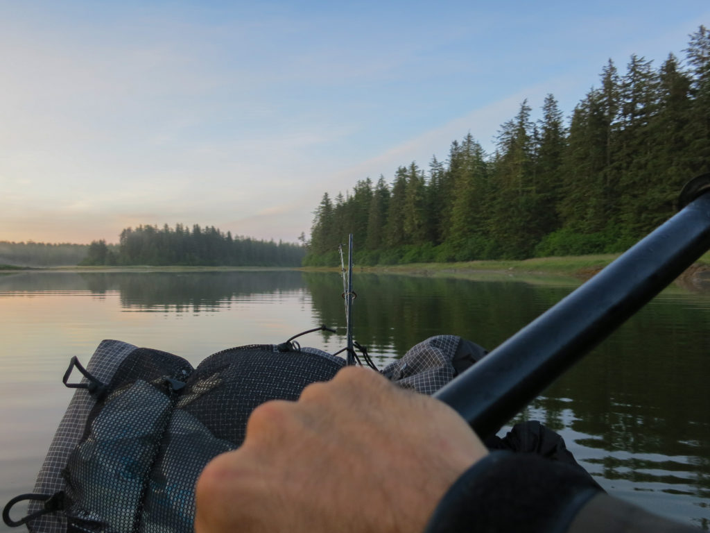
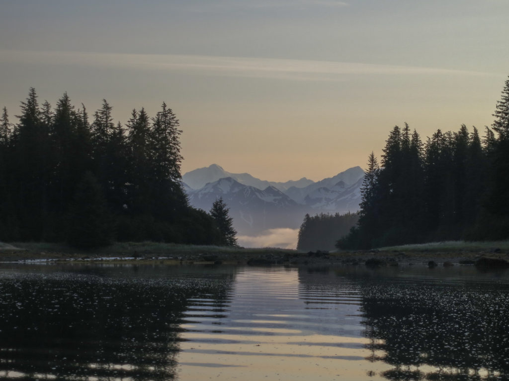
I spent the day paddling the many bays and islands surrounding Johnstone Passage. In the early morning I was kept company by countless sea otters who would poke their heads up curiously as I passed, diving each time I got within camera range.

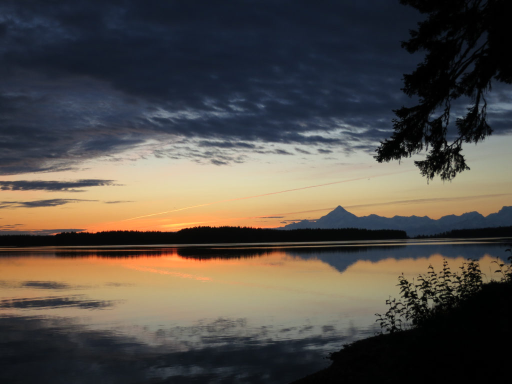


I woke early the next morning and paddled the short distance back to the lodge. To say that I was pretty hungry by this point would be an understatement. Amazingly, there was a large pan of bacon and eggs on the stove and a hot pot of coffee waiting for me. After a satisfying breakfast, I went out for a few hours to fish for sockeye. Soon work would begin, but for now, life was good.