Originally published October 2012
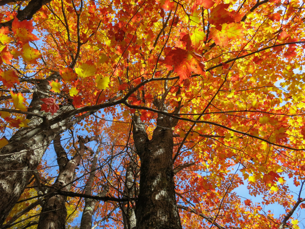
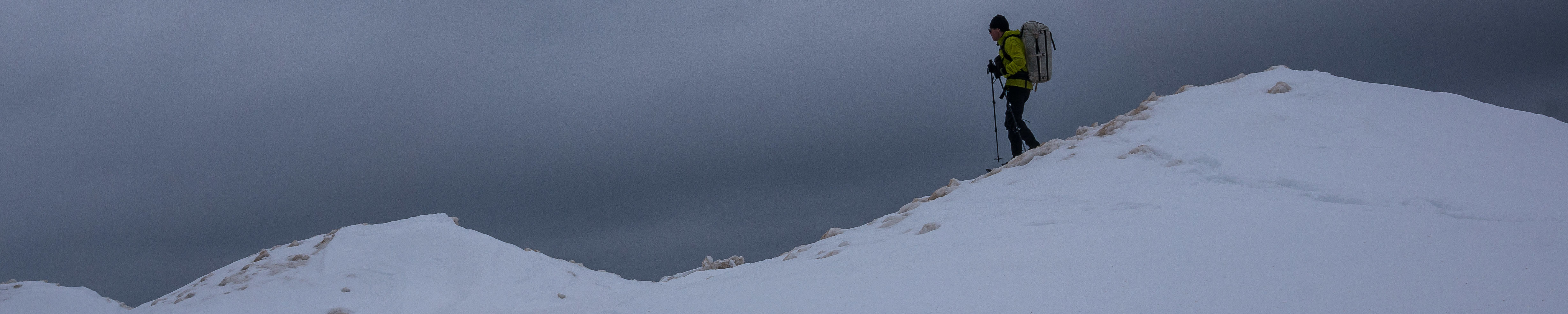
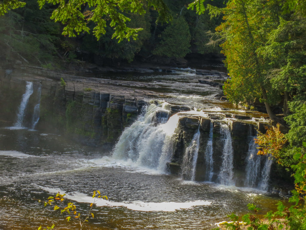
Fall had come to Michigan, and I was ready for an old school adventure. For this trip I set my sights on a section of the North Country Trail in the Upper Peninsula of Michigan that I had not yet covered. I decided to add in a section through the Porkies as well, since I would be driving westward and it seemed a shame not to include this premier destination. The trip would begin at the Presque Isle River, pass through the Porcupine Mountains, over the Trap Hills, and through the Sturgeon River Gorge Wilderness to end at Canyon Falls for a total distance of 132 miles. For the sake of a challenge, I planned to complete the trek in 4 days. I had hiked 30 mile days in the past, but had never completed 4 such days in a row.
I left my house at 9 pm, arriving at the Canyon Falls Roadside Park by 4:30 the next morning. I was disconcerted to find a sign in the parking lot stating “No Overnight Parking”. I’d have to deal with this, but not yet. Curling up in the back of my car, I caught a 90 minute nap.
I woke up shivering. The car thermometer read 28 F, not surprising given the forecast for temps in the high 30s. Anytime I’m planning a trip in the UP and want to know what to expect, I just take the weather forecast and subtract 10 degrees. In the winter I subtract 20 degrees. I’m not sure why the meteorologists can never get it right, but I’m grateful that they are at least consistently wrong.
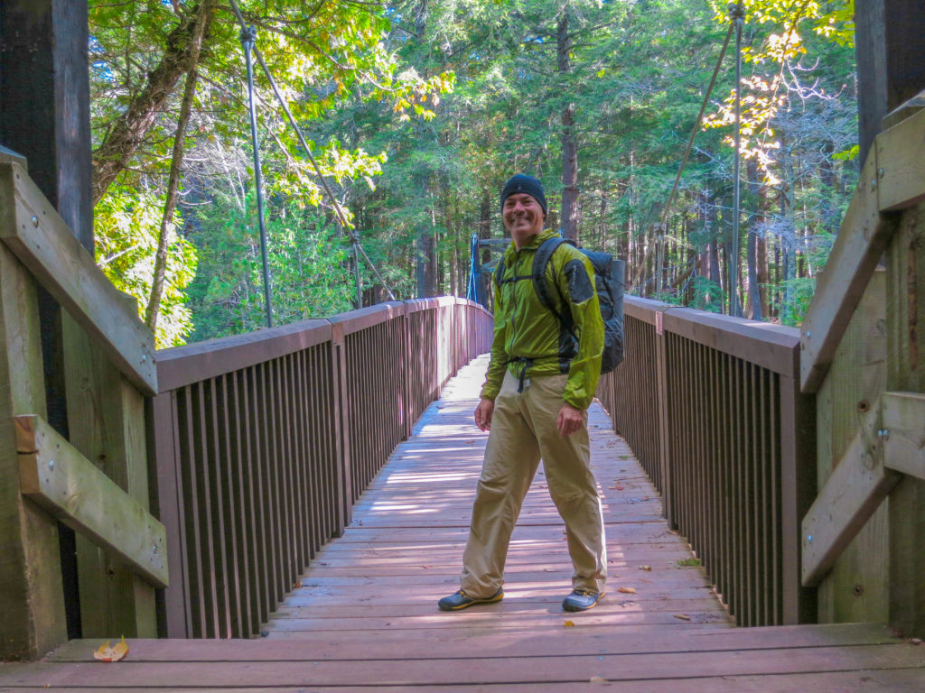
When Jenn came to pick me up, we drove around for a little bit looking for an alternate parking spot along the trail, finally settling on a DNR campground at Big Lake. This shortened my route to 121 miles which would prove fortuitous. It also led to a later start time, which was less lucky.
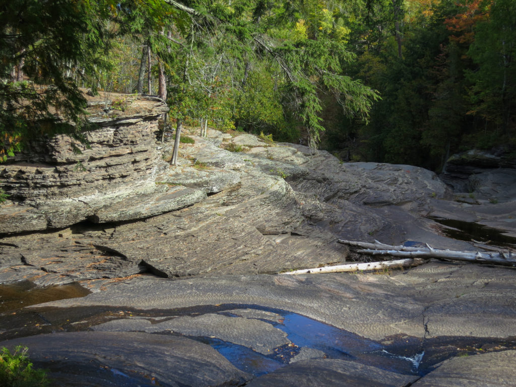
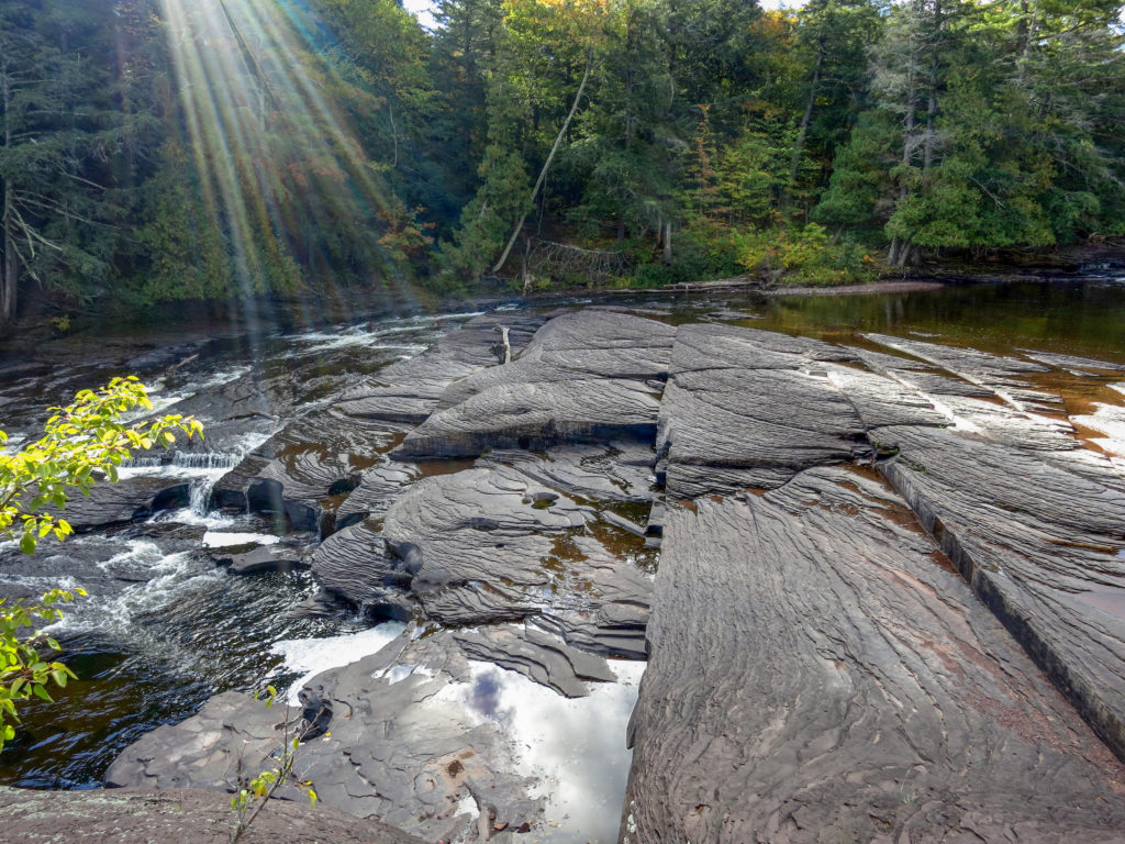
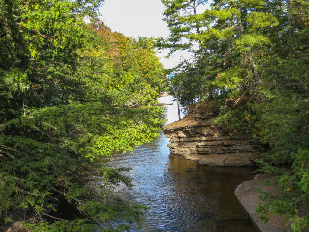
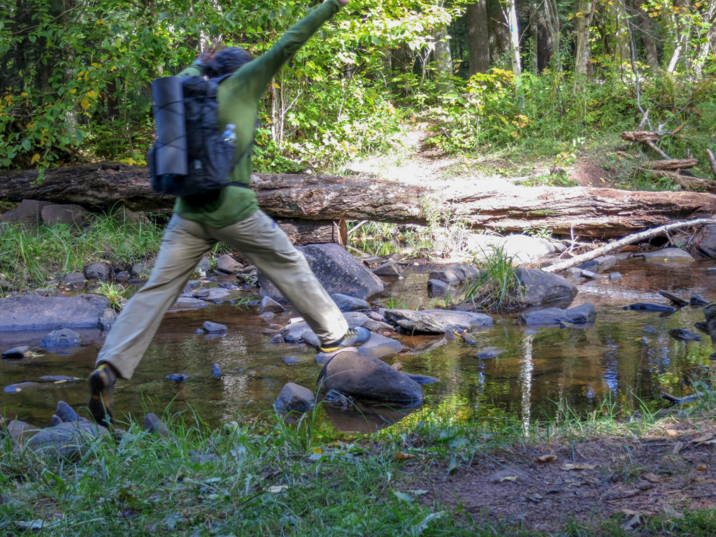
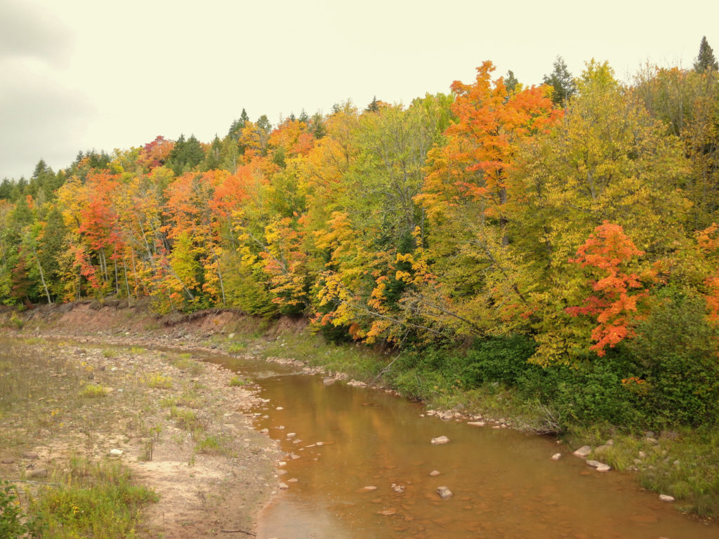
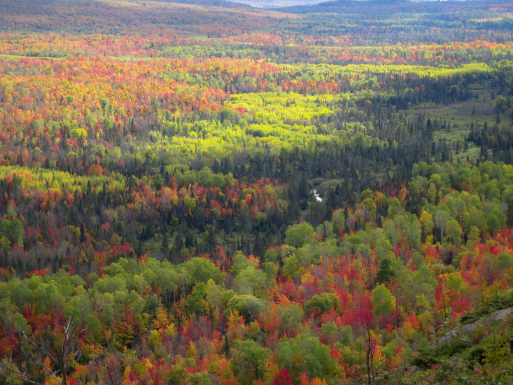
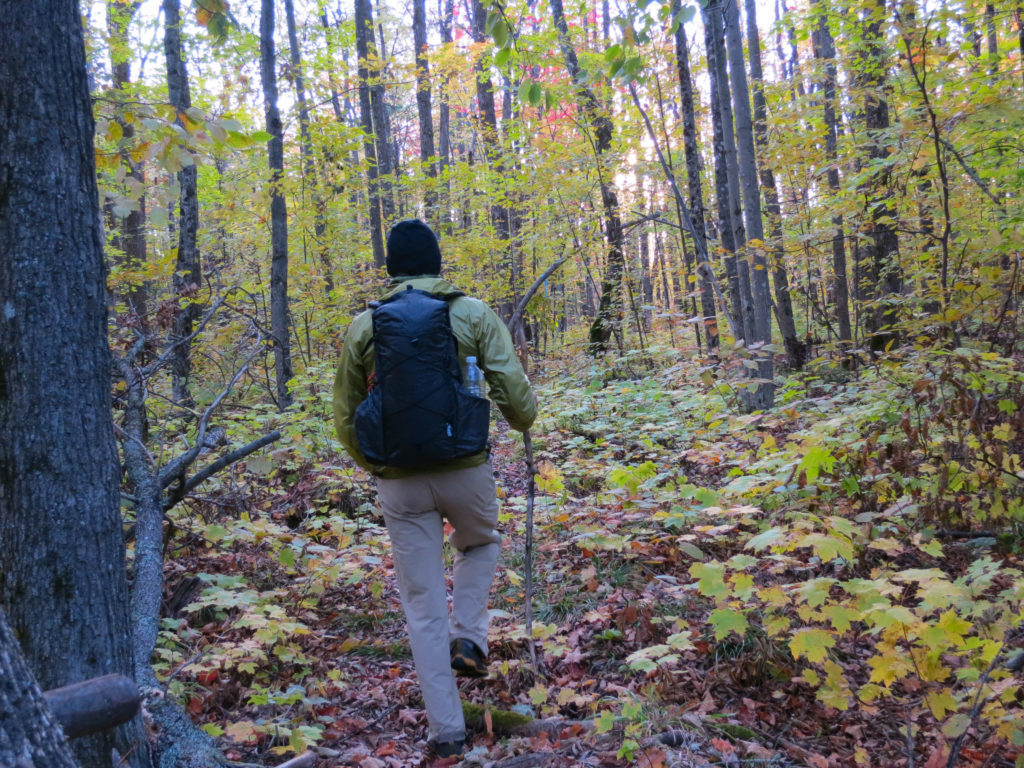
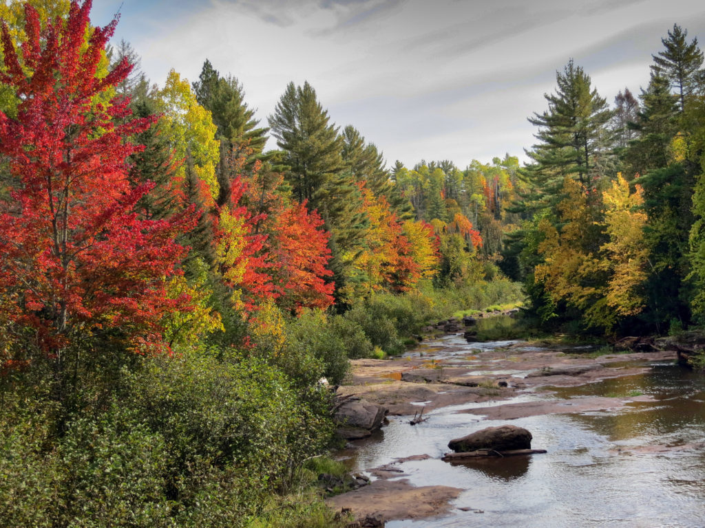
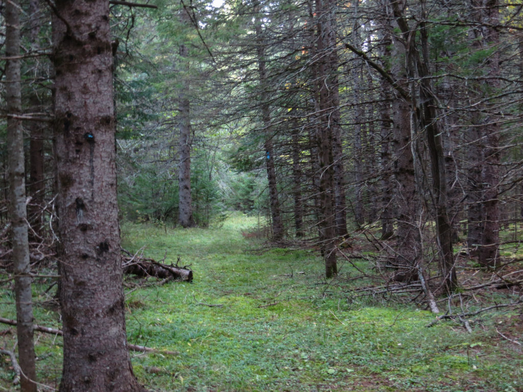
Once across the river, the NCT (Lake Superior Trail) was largely a woods walk, interspersed with bubbling brooks. Water levels were lower than in previous years and I was able to keep my feet relatively dry
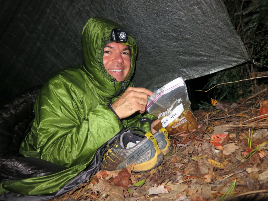
I heated some water and crawled into my quilt to enjoy dinner, a homemade venison chili with some pasta thrown in. With no extra clothes to spare, I used my shoes as a pillow. The night passed warmly, though I inexplicably dreamed of sauerkraut
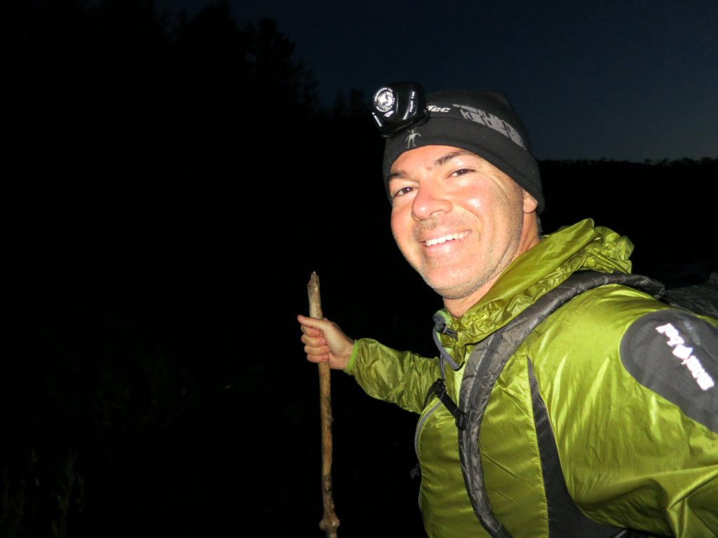
I woke in the darkness and reluctantly left the warmth of my quilt, hitting the trail by 5:30 am. With relatively minimal tread in this area, navigation was slow as I worked to pick out the trail. I was happy to have a reliable headlamp on me for this task. I may skimp in other areas, but I don’t like to compromise with regard to illumination. Getting lost in the dark invokes a few too many primordial fears.
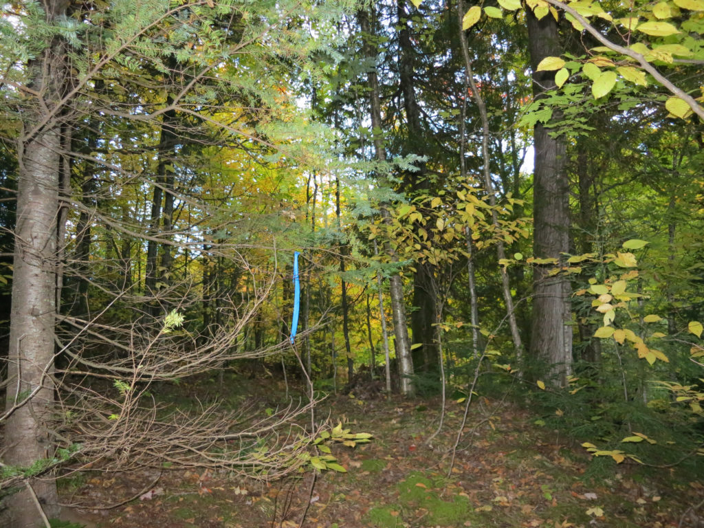
I made my first big mistake as the sun was coming up. Blazes were patchy in areas, and losing the trail, I ended up following a blue tape trail for a long way. There was quite a bit of bushwacking involved, and I doubled back a couple times to verify that I was on the NCT. Each time, I found just enough blue blazes on trees to reinforce the illusion that I was on a poorly marked trail. Finally though, the blue tape trail petered out in an unusual little circle and I realized with certainty that I was off route. Backtracking one more time, I found where I had missed a turn. I had unfortunately lost a couple of critical hours in this section. (As a side note, many times later in the trek I encountered poorly marked sections of trail helpfully blazed with blue tape. Though I never fully trusted one of these sections again, they would prove reliable every other time.)
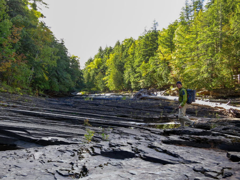
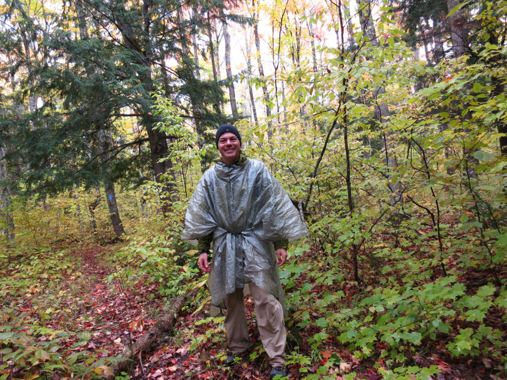
Back on the trail, I soon crossed the west branch of the Big Iron River, followed by the main river. As I crossed, it started to rain. I stopped under the canopy of some pines to heat water for a breakfast of sweet potato hash (sweet potato hash browns with freeze dried egg and sausage). For extra calories, I added a quarter stick of butter as I did for each meal on this trip. It was (or at least seemed) great


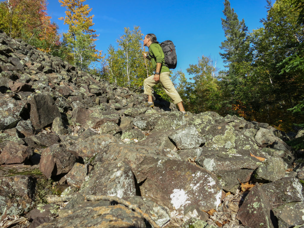
I don’t typically use trekking poles, generally preferring to have my hands free. I was starting to get the sense though that they would have come in handy on this trip
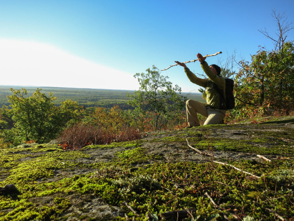
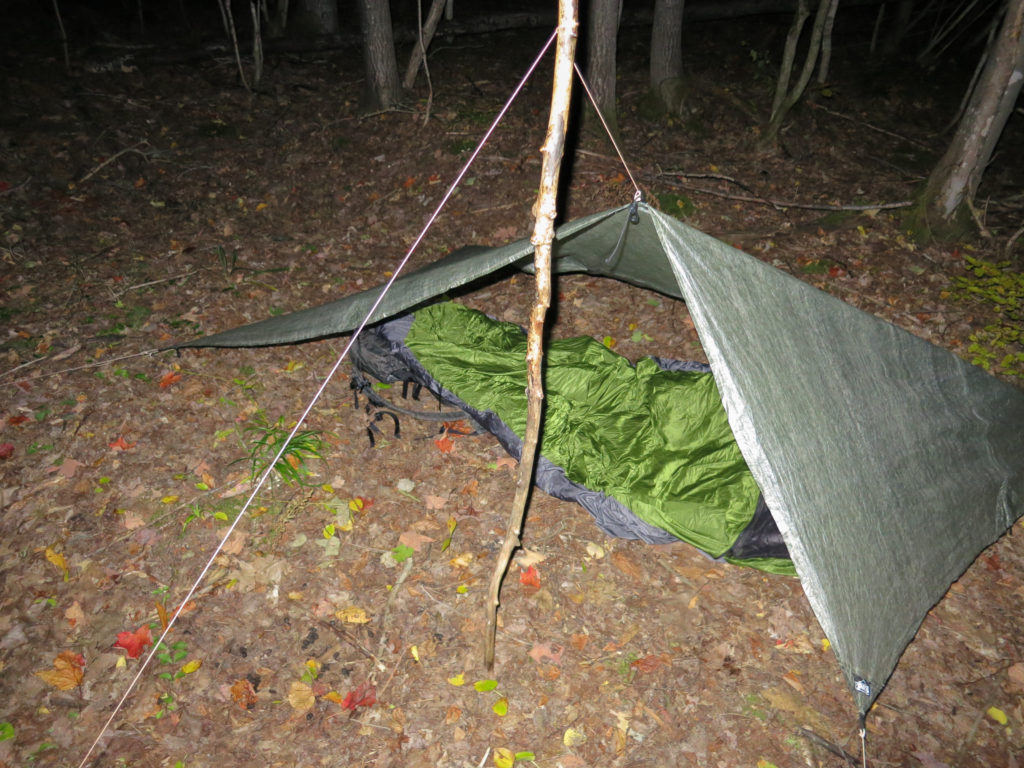
Then, near broken on top of yet another nameless mountain, I suddenly found it. It was smooth with just enough knots to give it character, lightweight and well balanced, strong yet springy. It was the perfect stick. I called it “Wilson” after briefly toying with “Excalibur” for a while (too pretentious for a stick). I would carry Wilson for the next 2 days, relying on him heavily for the hills. And it wasn’t just Wilson the walking stick. It was also Wilson the tent pole.

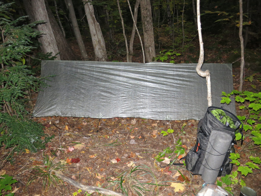
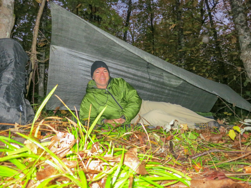
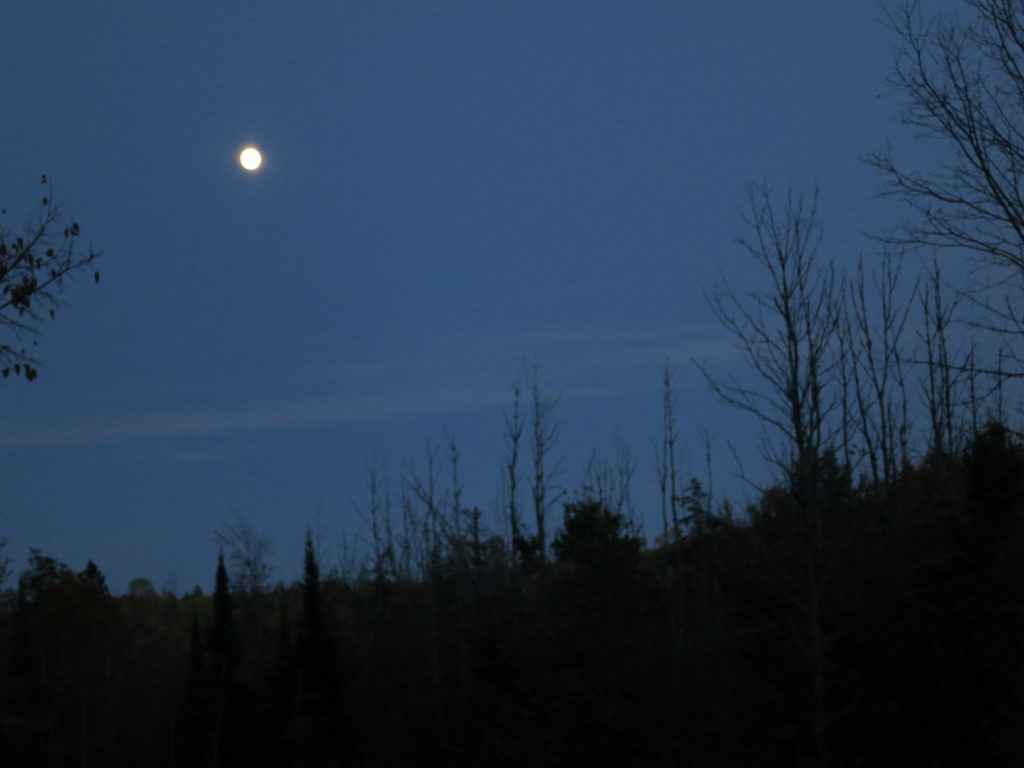
I hiked until about 9 pm before setting up in a small clearing near Rainbow Rock. I modded my A-frame so that I could see the stars. I wasn’t sure how far I had traveled thanks to my navigational error that morning, but knew that I hadn’t covered the 30 miles of trail on my itinerary. The steepness of the terrain in this area hadn’t helped either. It was hard to feel too disappointed though. It had been an amazing afternoon. Dinner was wonderful too; quinoa pasta with a spicy sausage and san marzano tomato sauce.

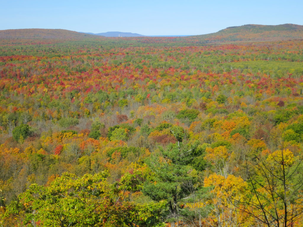
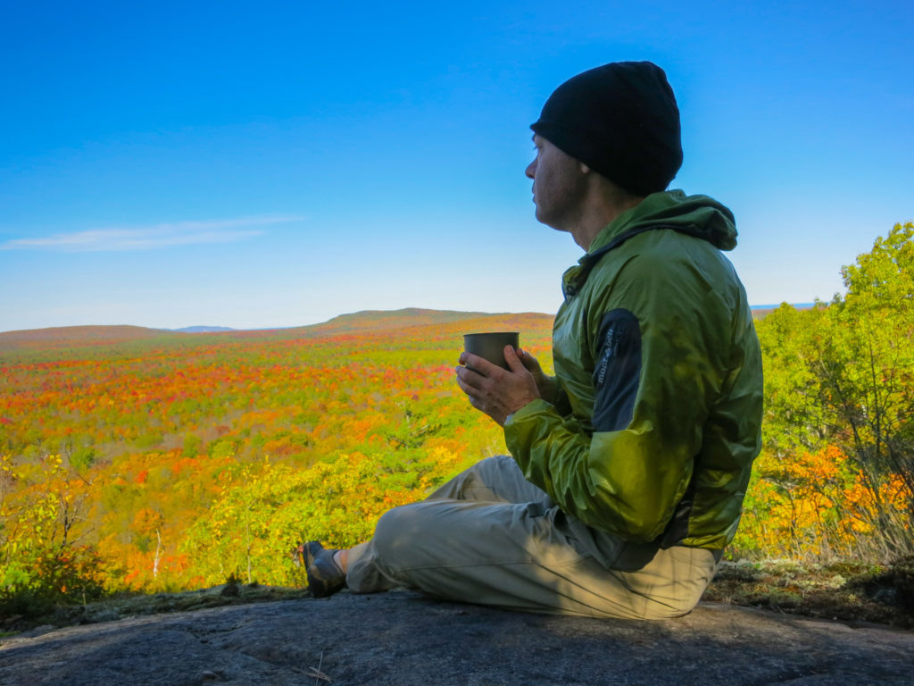
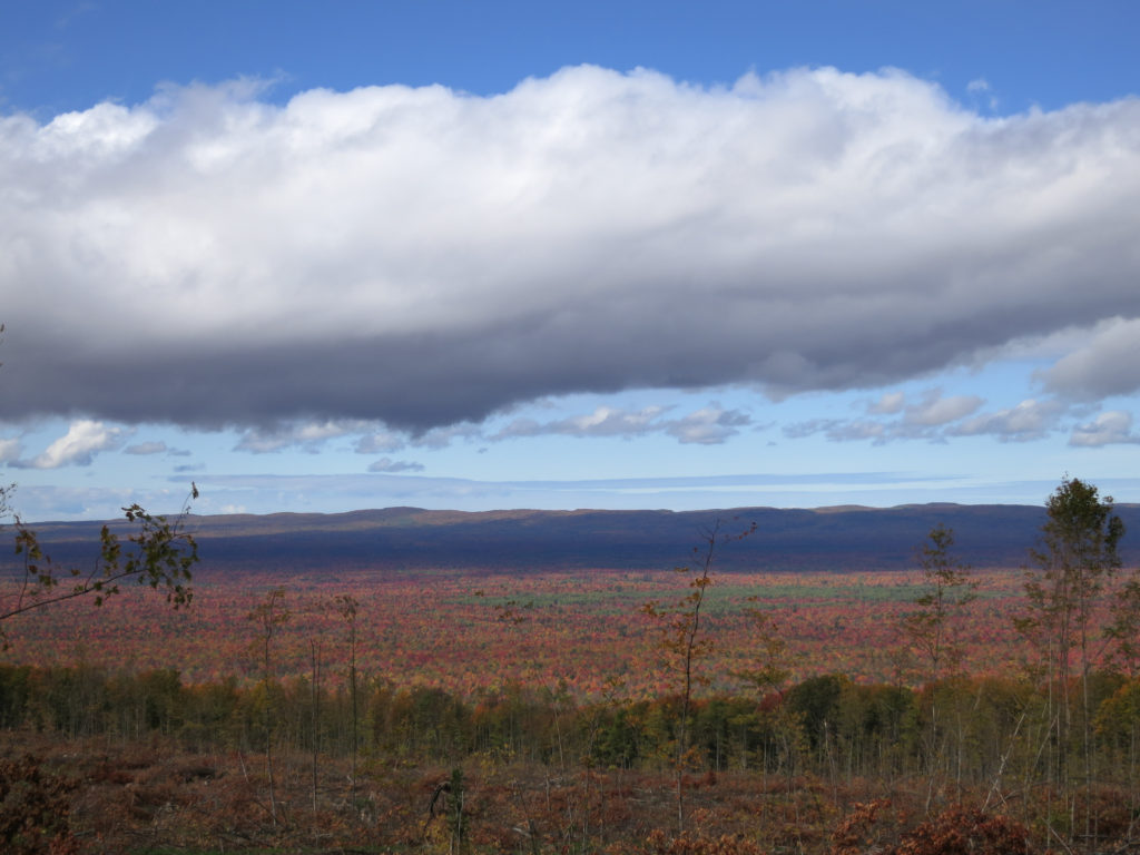
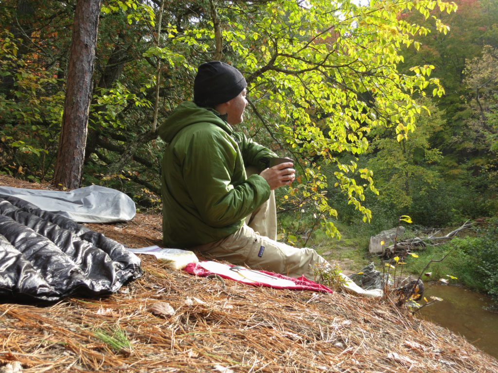
I stopped for coffee and breakfast (a dehydrated casserole of eggs, bread, cheese, mushrooms, and sausage) atop a hill with a great view. This was one of the most amazing breakfasts of the trip, and the ambiance was pretty good too. People say you can’t dehydrate eggs, but once cooked into a dish, it works fairly well

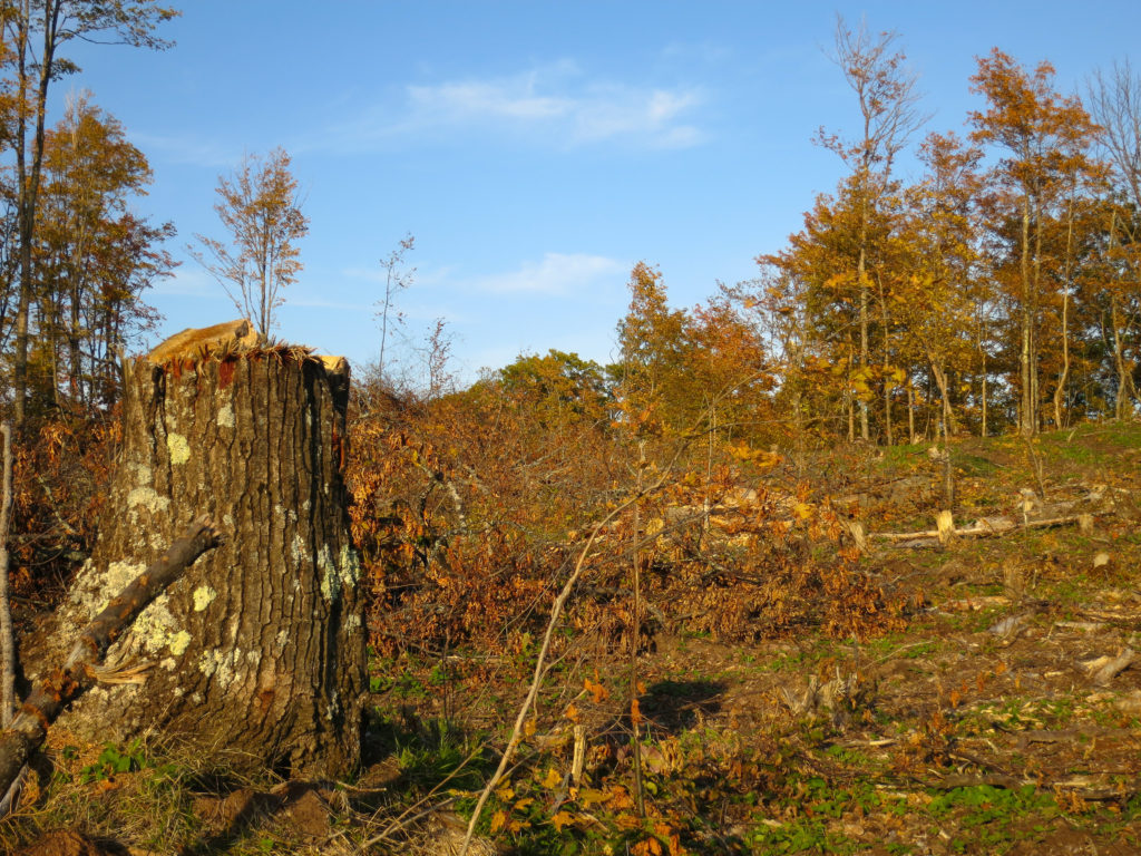
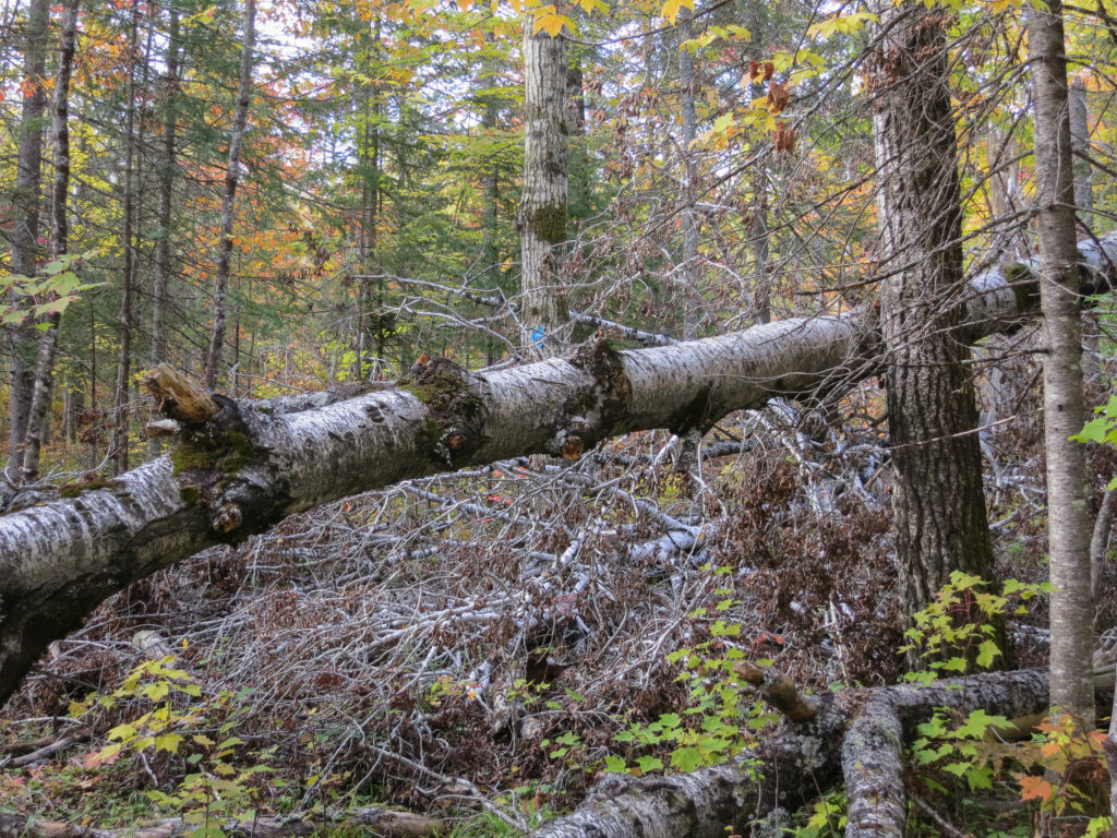
Unlike its more popular brethren, the Trap Hills does not enjoy protected status in Michigan and is subject to logging. This battered landscape struck me like a scene out of “The Lorax” I had read to my kids so many times. I paused briefly to see if the lorax would in fact pop out of this stump. I’m sure there is much I don’t know about the history of this area and the needs of its people, but after three days in the pristine backcountry, the devastation was saddening.
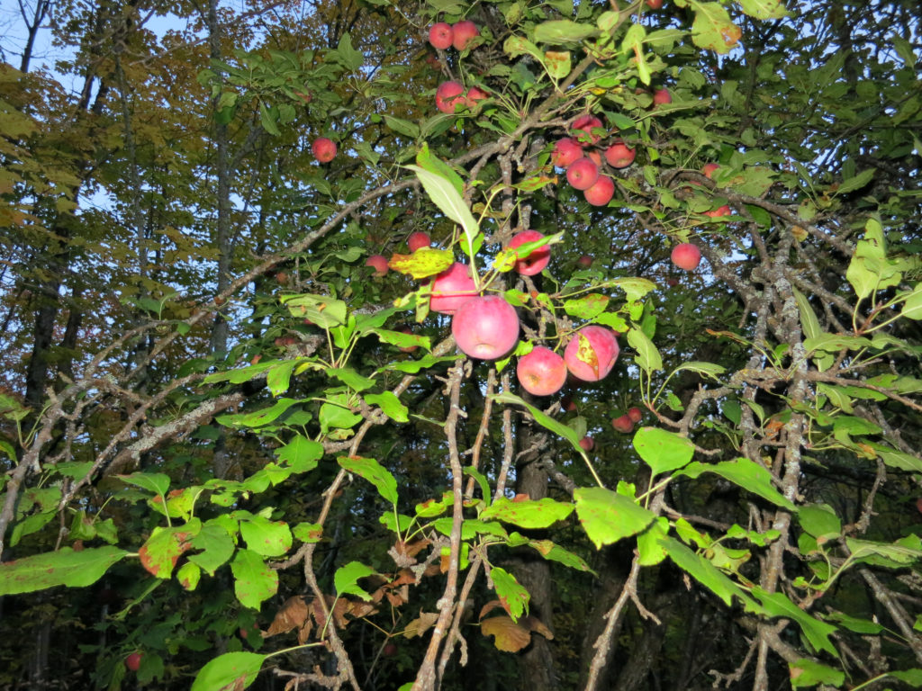
Darkness fell as I continued past Victoria. In the woods I found this wild apple tree, no doubt an escapee from someone’s orchard. The apples were small and tart, a welcome addition to tonight’s meal
After crossing the river, the trail climbed steadily upward. The soil and air felt damp and tangled brush lined the trail. I didn’t mind continuing onward, as I hoped to dry my pants before stopping for the night. Off to my left, I could hear coyotes howling. My heart stopped for a second when I saw two glowing eyes reflected in the light of my headlamp off to the side of the trail. Fortunately, it was just a young buck bedded down for the night. I’m pretty sure I scared him more than he scared me.
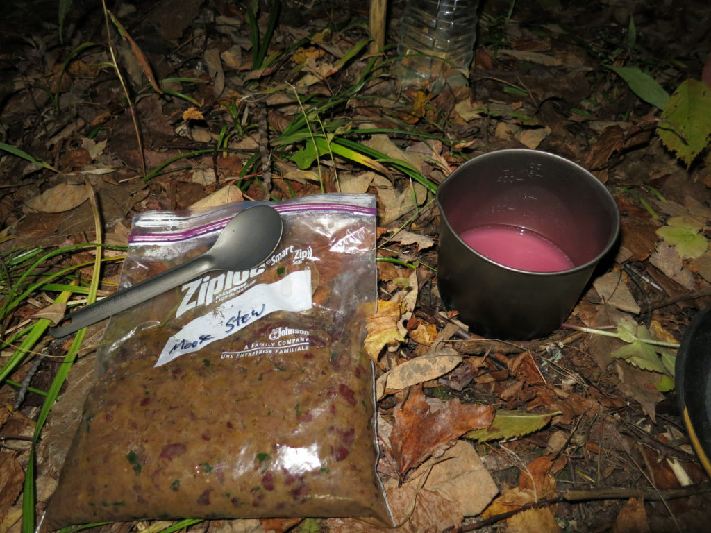
About 90 minutes later, I finally found a site that was at least close to usable. My pants were nearly dry by this time. Given the impending cold, I again pitched a tight A-frame and heated some dinner, a nice warm stew. While I waited for it to rehydrate, I enjoyed a backpacker’s hot toddy, pink lemonade in leftover hot water with a good splash of everclear. I know it doesn’t sound cultured, but it is really good on a cold night.


I stopped for the night about 5 miles past Bob Lake, and heated water for dinner. I had saved my favorite dinner for last, a spicy chicken pasta. As I pitched my tarp for the night, I spotted a large pile of deer droppings in a flattened patch of leaves nearby. I knew too well what that meant. It came as no surprise then when I was awakened at 5 am by the cry of a buck, indignant at the unwelcome intrusion on his turf.

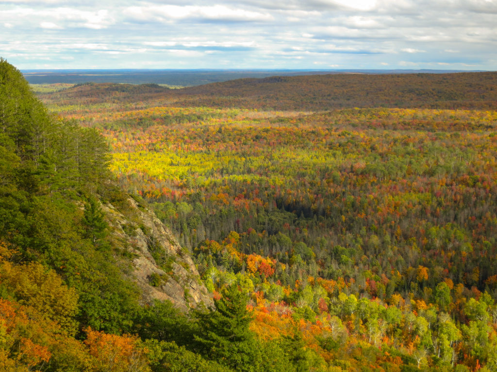
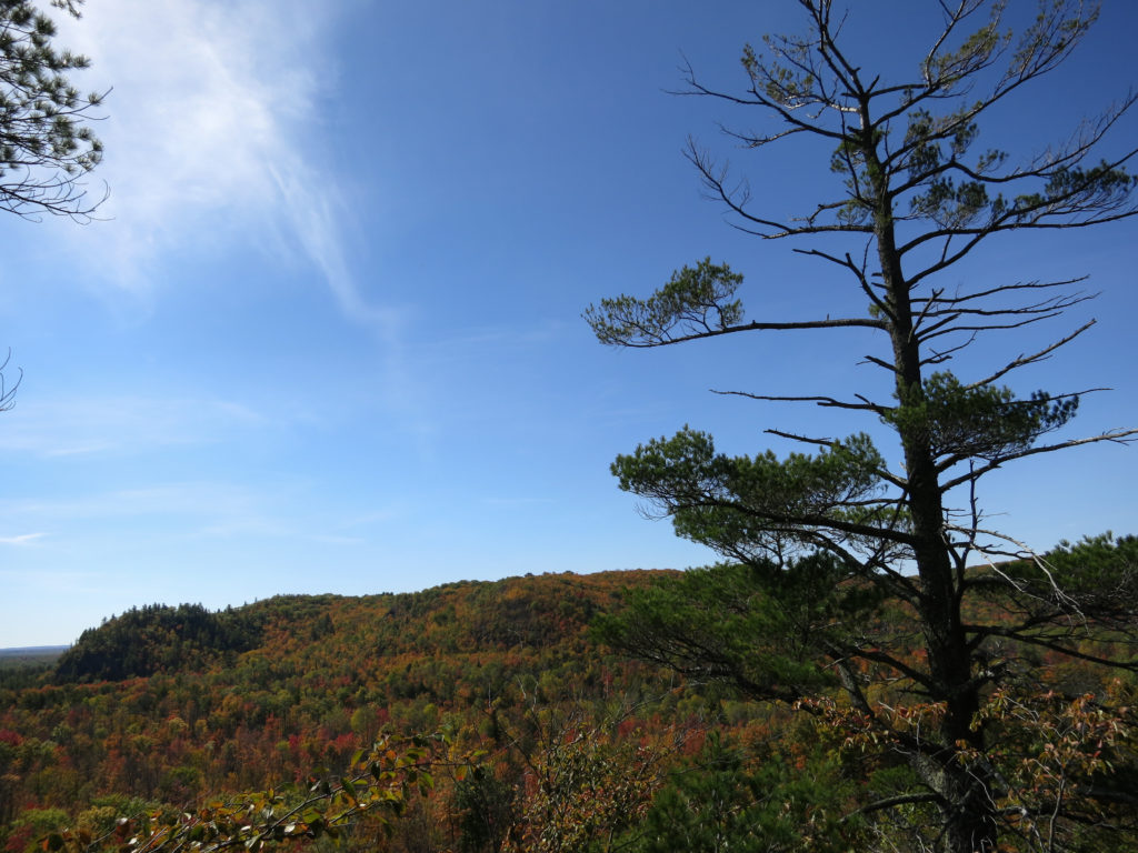
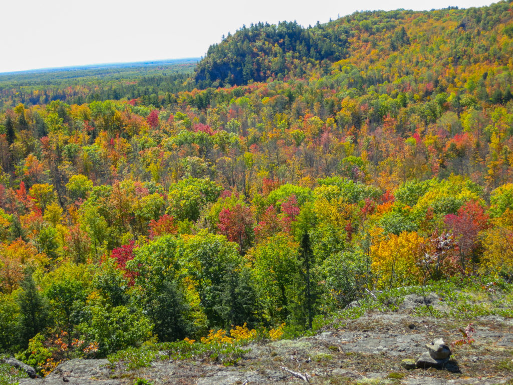
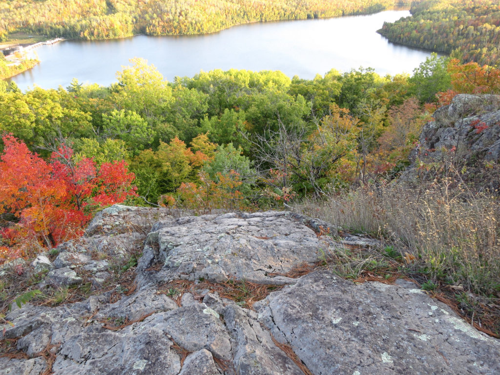
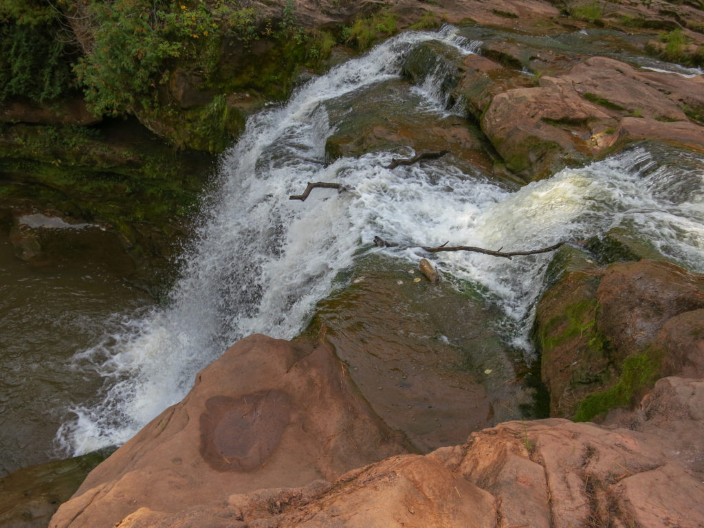
Today would be a walking day, as I had to cover 16 miles of trail, drive 7.5 hours, and be home by evening. I bypassed the 1.5 mile side trail to Sturgeon Falls, but did go out of my way to check out the Bear’s Den, a scenic overlook of the Sturgeon River Gorge Valley.

Finally, I limped into the Big Lake campground at 2 pm, four days and three hours after starting my journey. I stopped for a double lunch at the Hardwood Steakhouse before continuing the long drive home.
In the end, I did not complete the goal I had originally set for myself when planning this trip. Navigational errors, steep terrain in the trap hills section, trail obstruction in the less popular sections, and time spent engaged in photography and enjoyment of trail life all contributed to a slower than anticipated pace. Somehow though, when I look back on this journey, I don’t think it will be counted among my failures. The Trap Hills are a worthy destination, and one of the true hidden gems that Michigan has to offer.