People worry about hiking alone in winter, but it’s the drive that’ll kill you. What should have been a six hour drive had stretched into a white-knuckled nine as I made my way north along slick-black roads through a Michigan ice storm and into an Ontario blizzard.
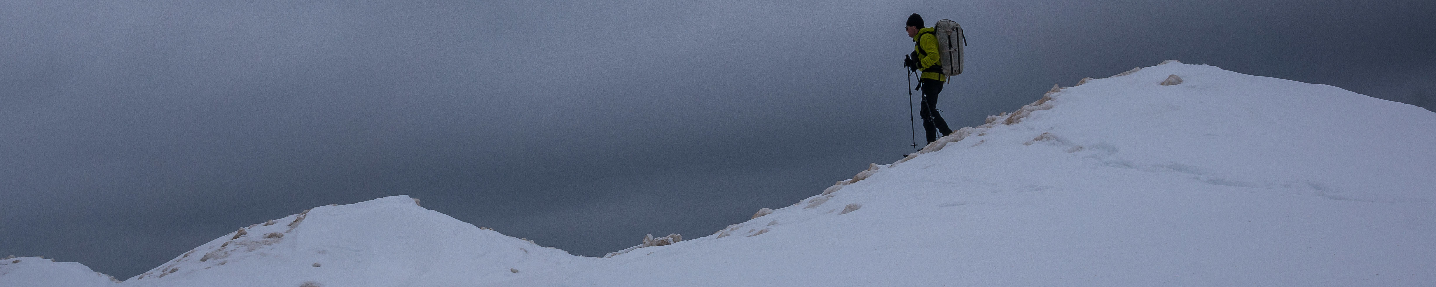
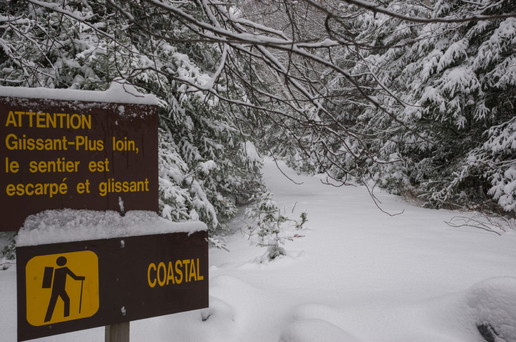
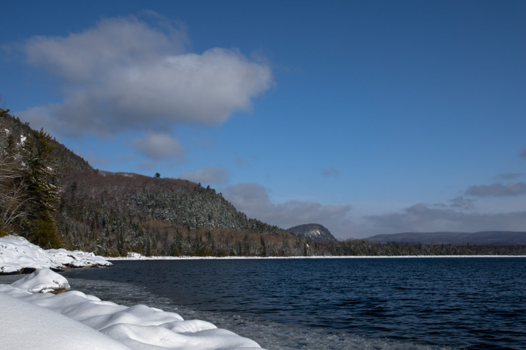
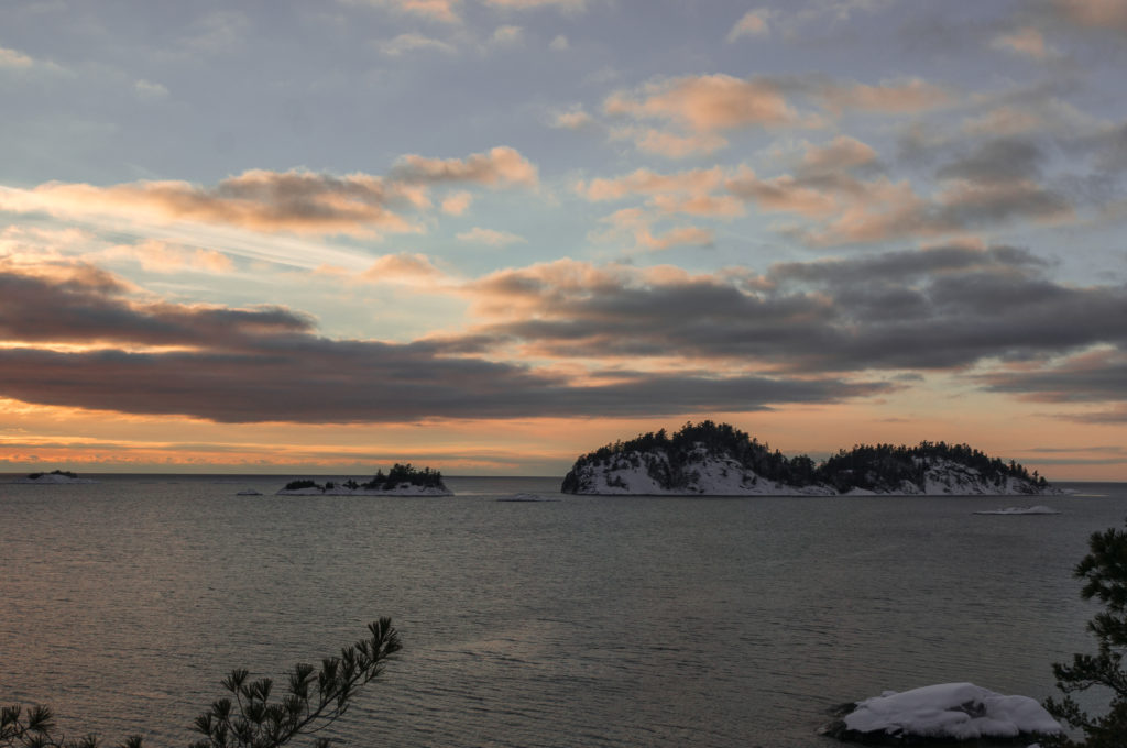
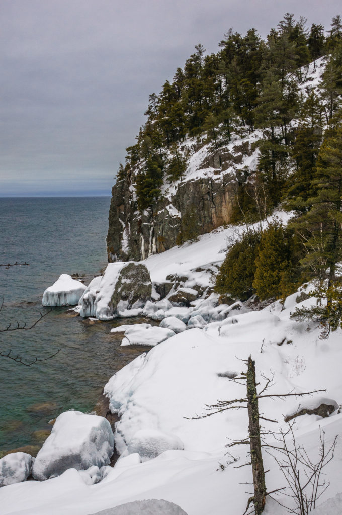
So it was that I found myself on the rugged Superior shoreline at Agawa Bay, preparing to hike the Coastal Trail. I had not been able to find much beta on this area other than frequent allusions to the difficulties of the trail. Regardless, I had become enamored of the stark and desolate beauty of this region and was willing to make the effort to experience more.
The woods were thick with snow and I would not see another human or even their footprints for the next 4 days.
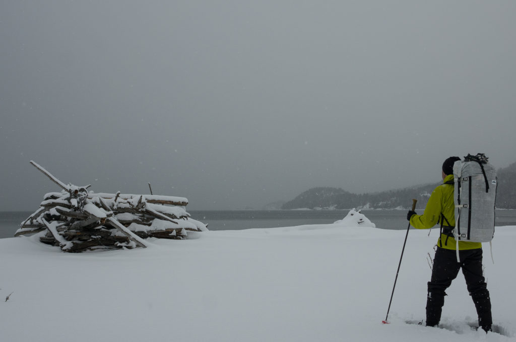
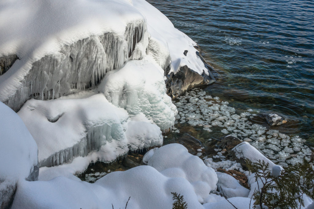
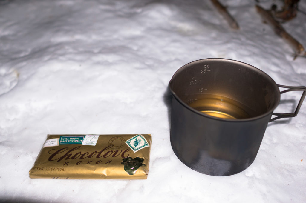
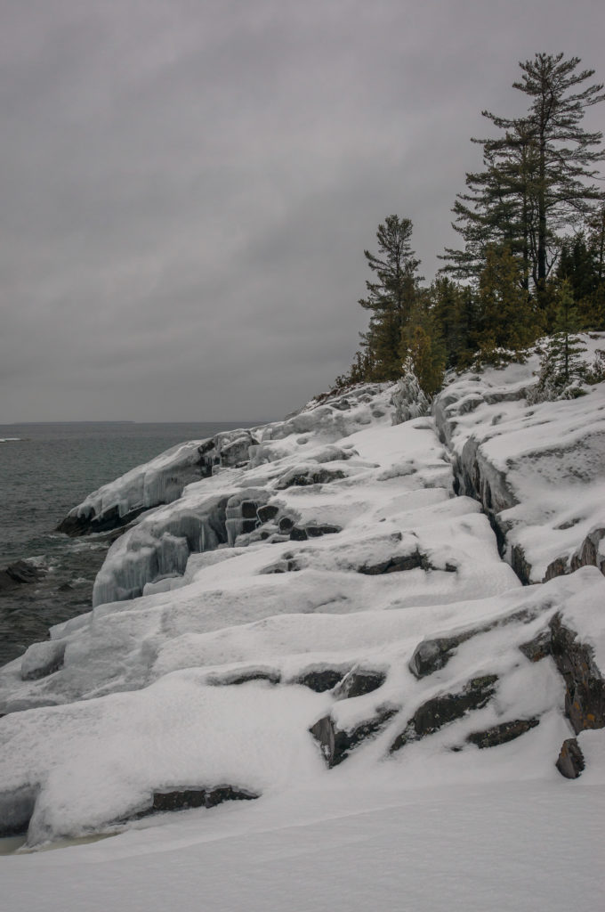
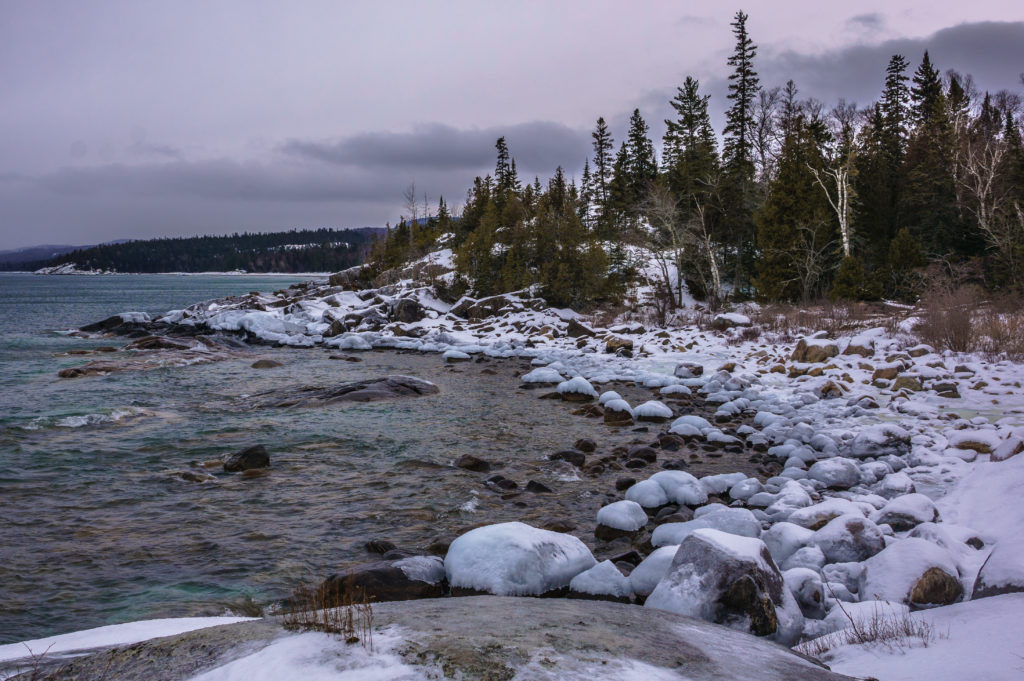
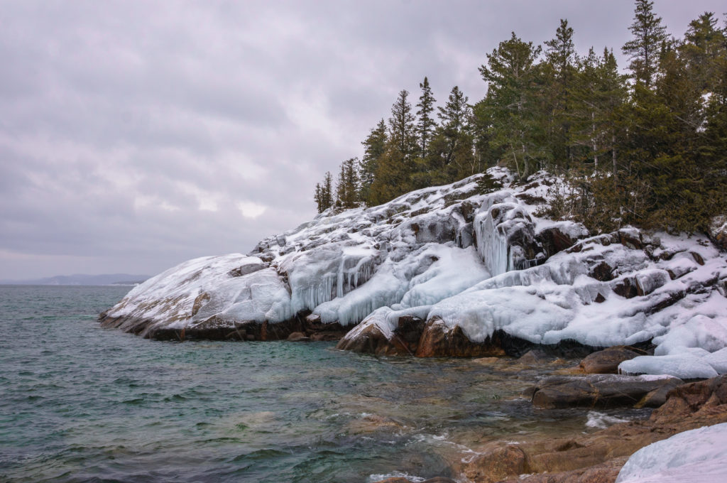
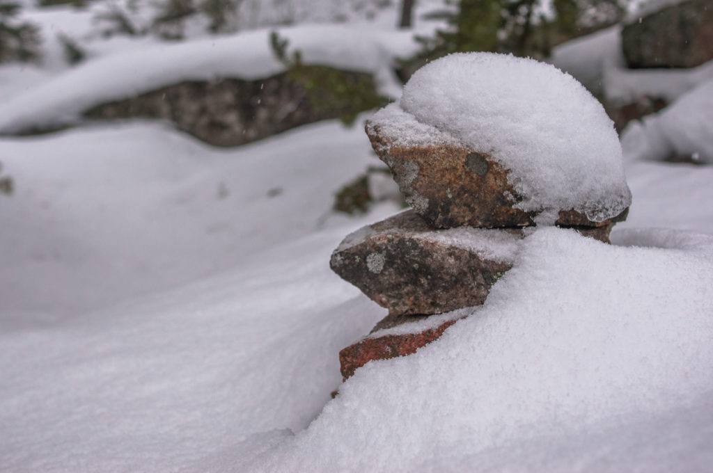
I was disappointed once again to find a lack of shelf ice in this area. I had hoped for the additional security when traversing some of the steeper icy shoreline sections to come. I had left my house at 2 am as I commonly do for the longer drives. It was now just after noon and I soon stopped on a flat topped rock overlooking the bay to enjoy my lunch. Today’s entrée was a spicy calabrese salame served with wedges of gorgonzola, English cheddar, and a cranberry Wensleydale.
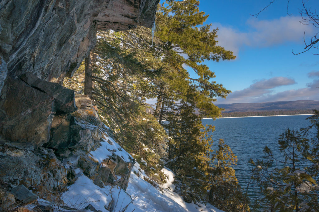
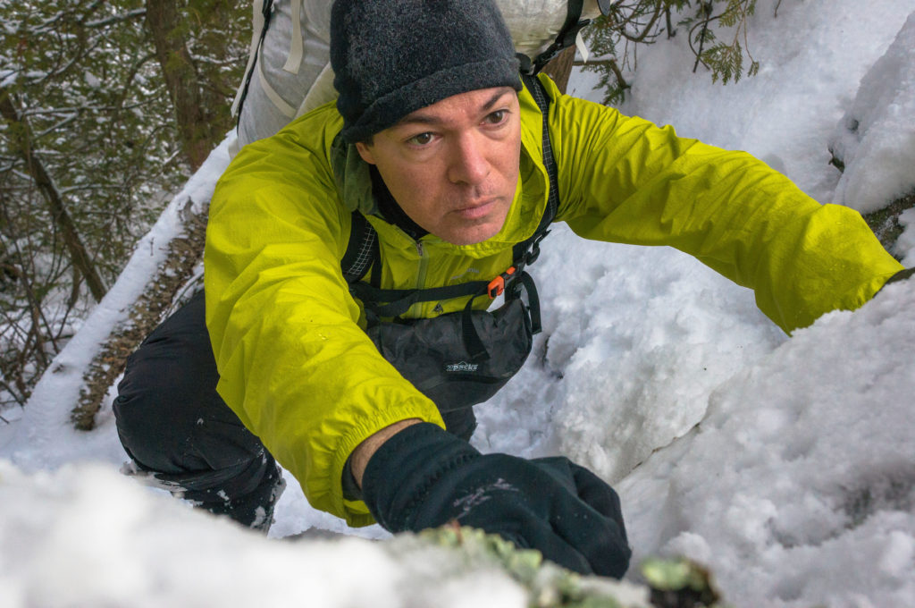
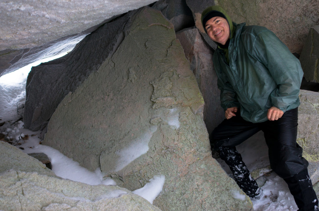
Soon I was climbing out of Agawa Bay along forested cliffs. This pattern would repeat itself over and over: Scramble/hike the rocky coves, climbing into the woody headlands where the sloping terrain precluded safe passage along the shoreline. Each had their own challenges. The coves generally did not have sand beaches. Instead, there was a cobble of basketball- to volkswagon-sized rock that required hopping, scrambling, or crawling to get through. The solid covering of snow and ice made this an ankle-breakingly slow proposition. In contrast, the headlands often required climbing up or squeezing through stone formations and crevices, again hampered by snow and ice. These aerobic endeavors and the frequent need to probe for snow bridges again made for a cautious pace.
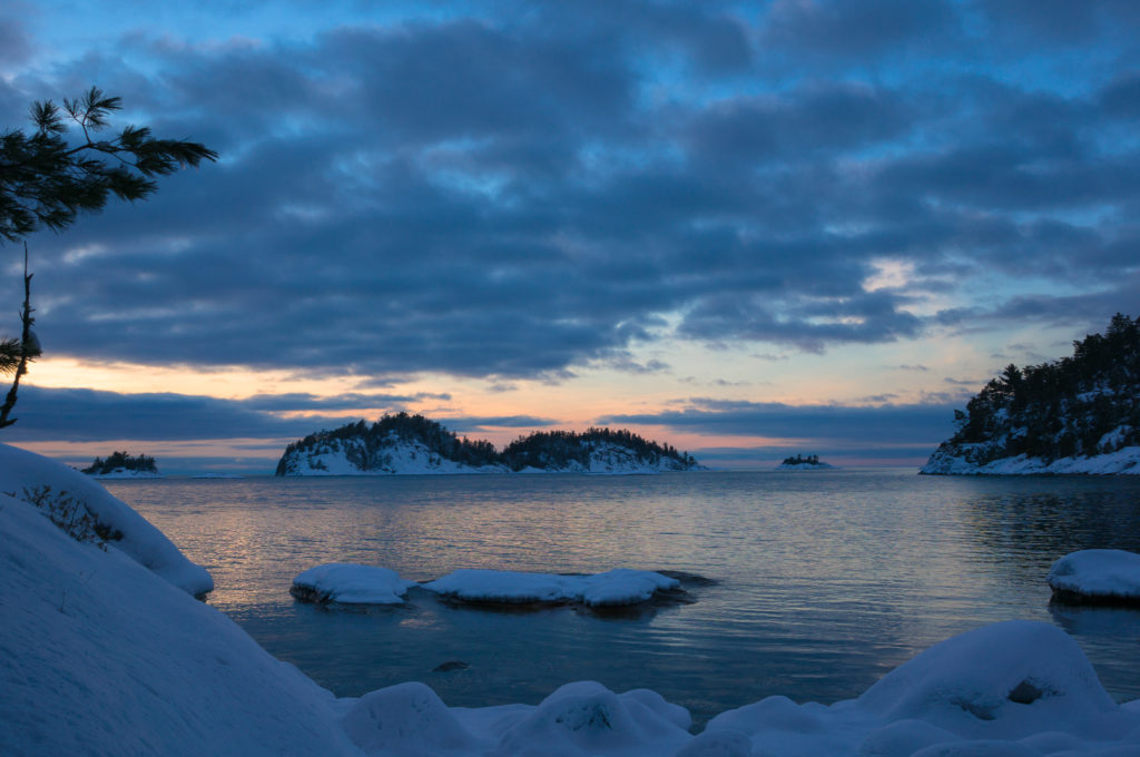
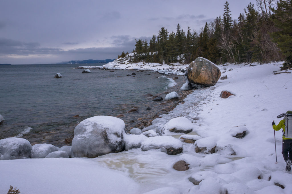
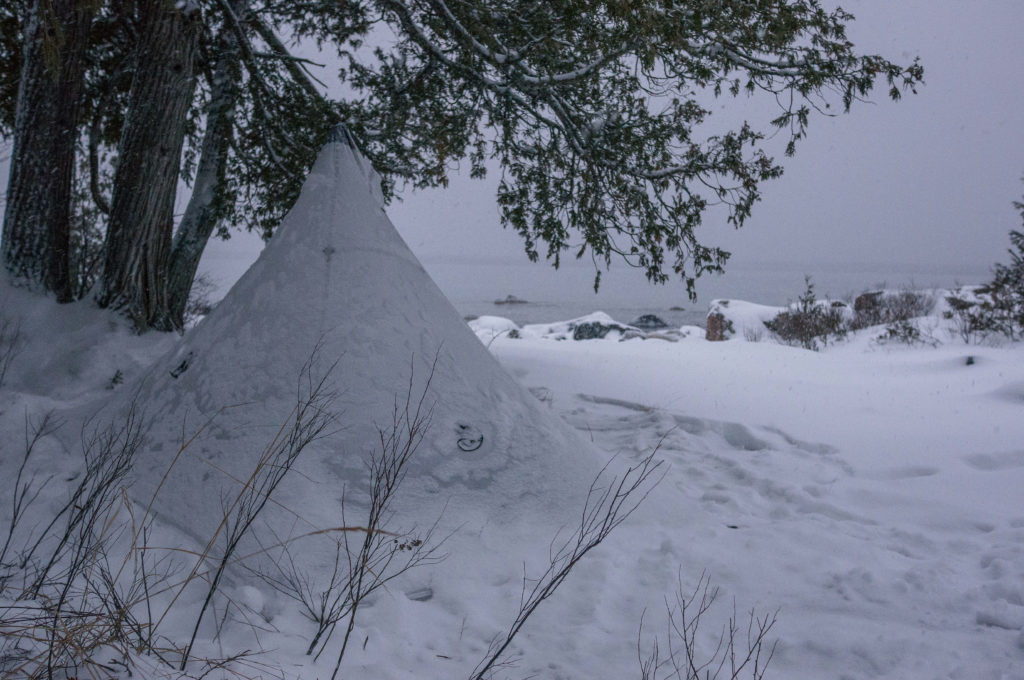
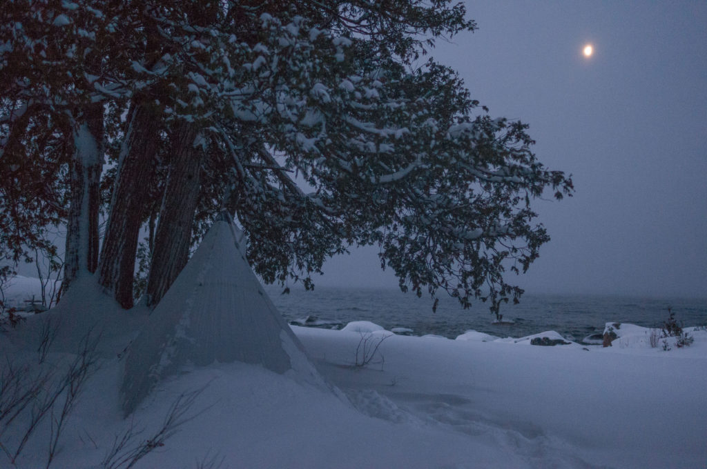
As darkness fell, I made my way down toward the next rocky cove. There I found a perfect campsite nested just within the treeline. Each cove typically had one or two such campsites and over the next days, I would often go out of my way to look at them, so welcoming they seemed.
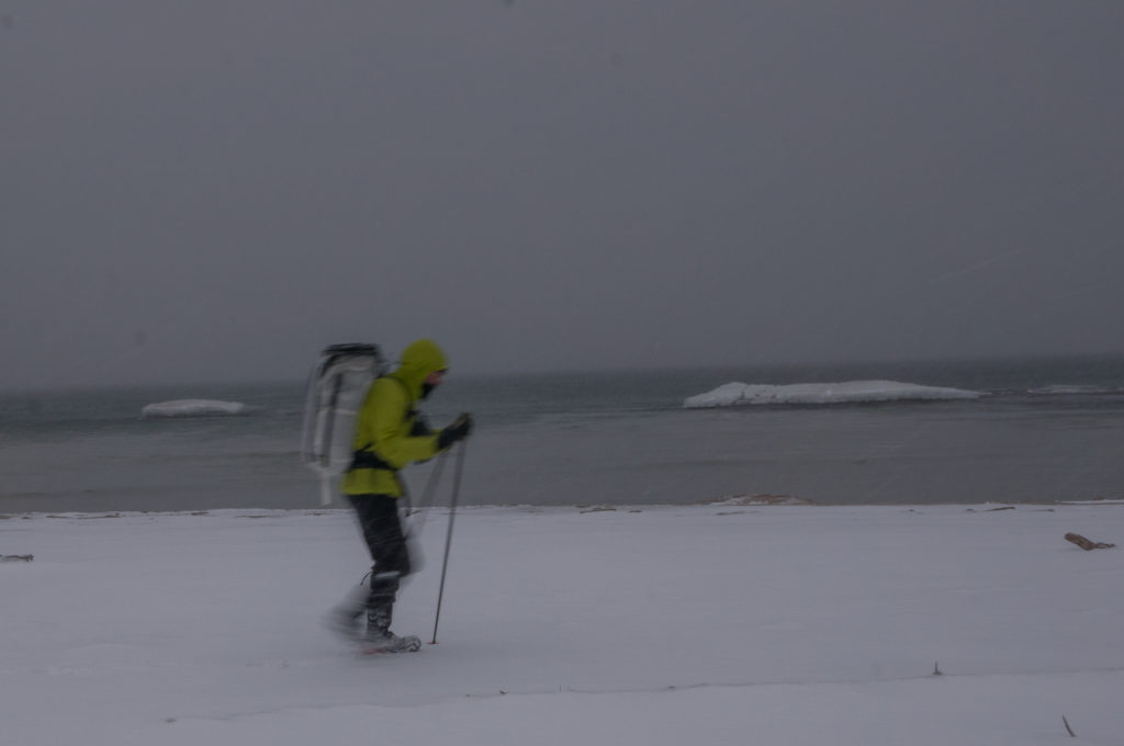
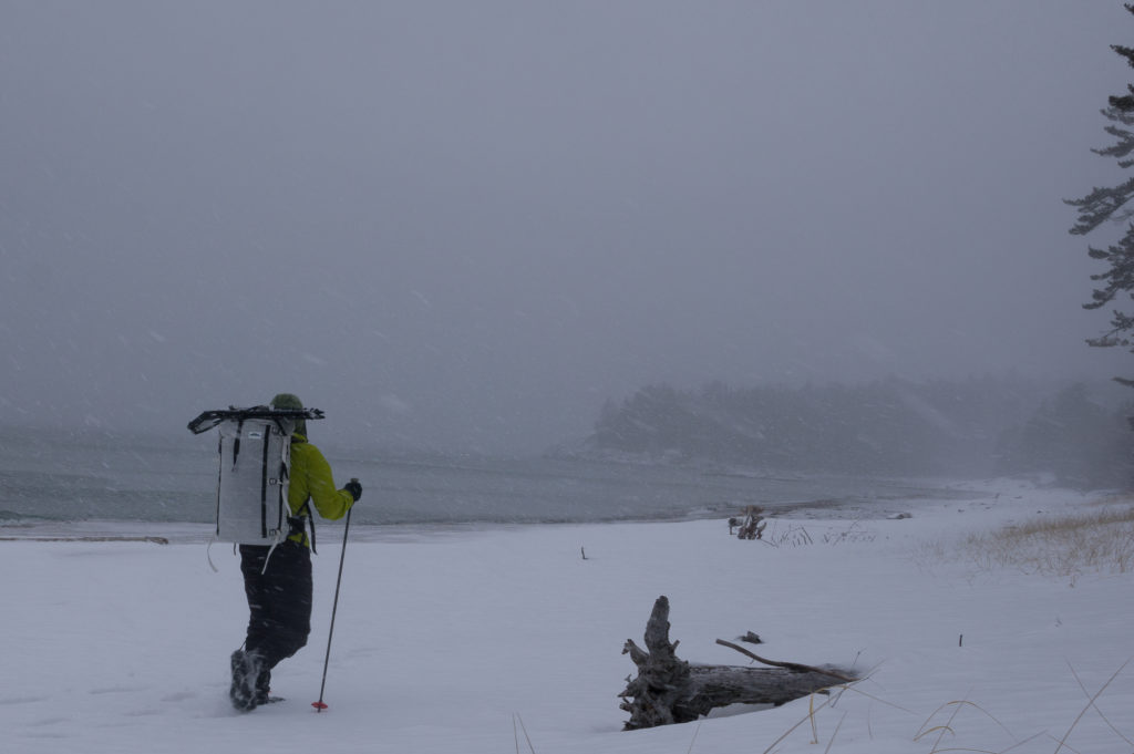
The night passed warmly. In the morning, I hung my quilt to air out as I drank coffee and got packed up. It was at this time that it started to rain. I quickly threw all of my insulation and outer layers into my quilt’s waterproof stuffsack, choosing to hike in only my baselayers and rainsuit to keep everything else dry. Sub-30 and rainy is probably my least favorite weather to hike in, but the strenuous nature of the trail kept me warm despite the dampness.
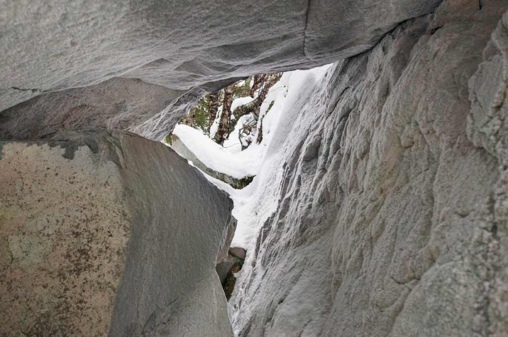
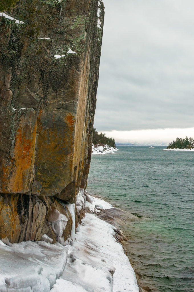
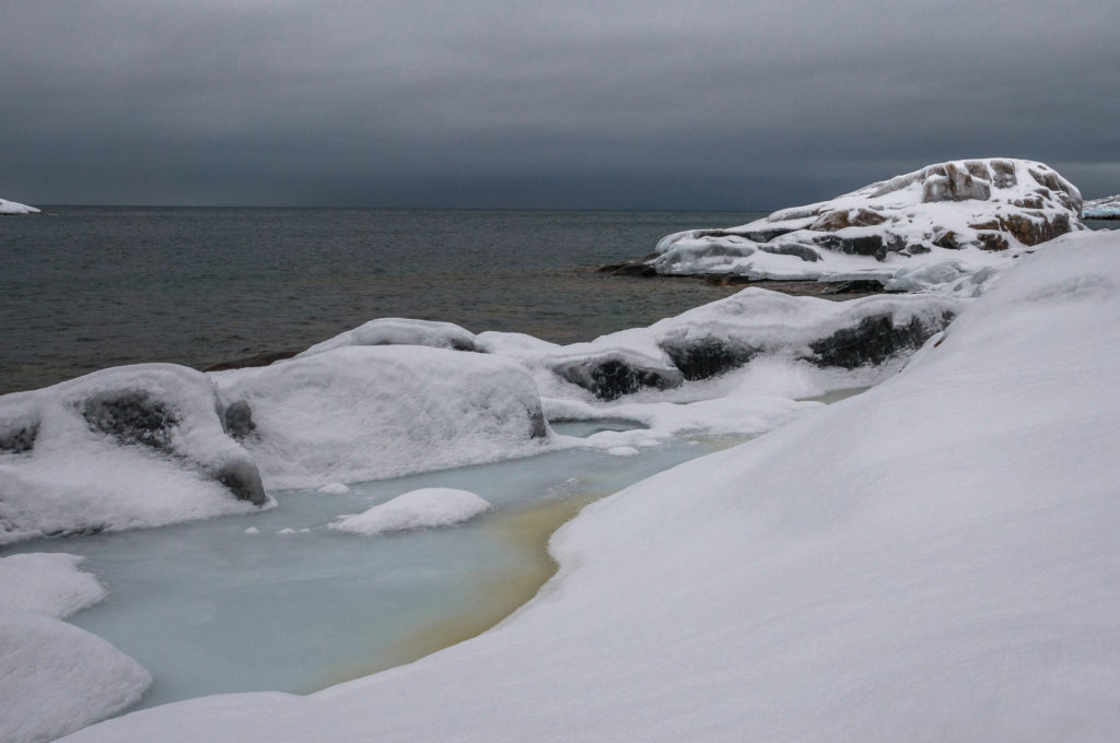
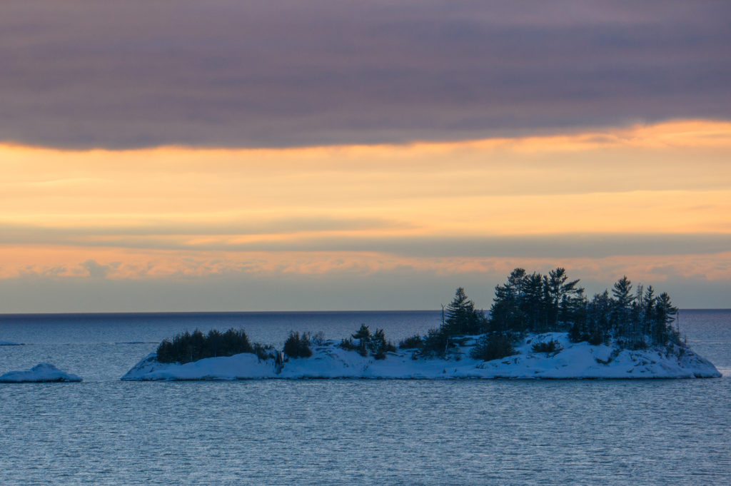
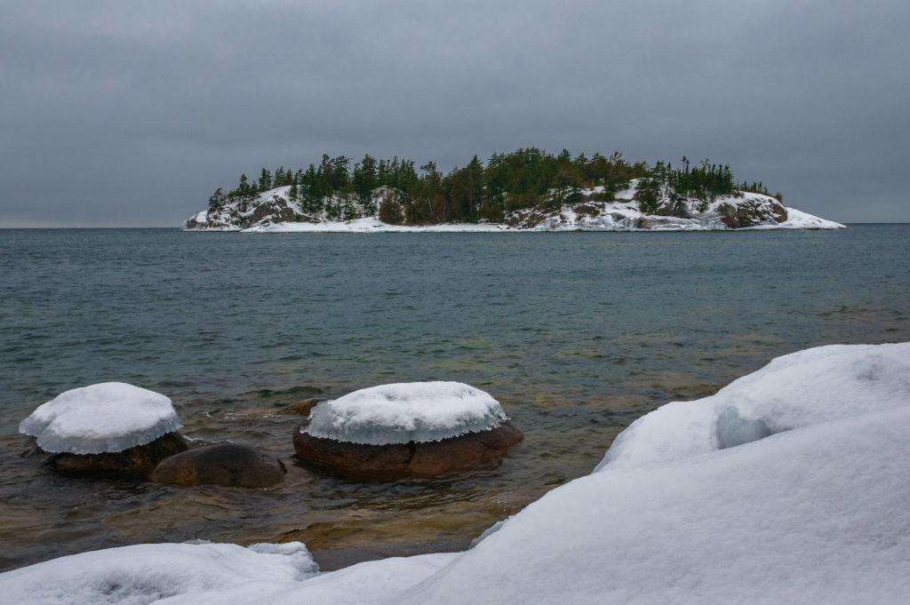
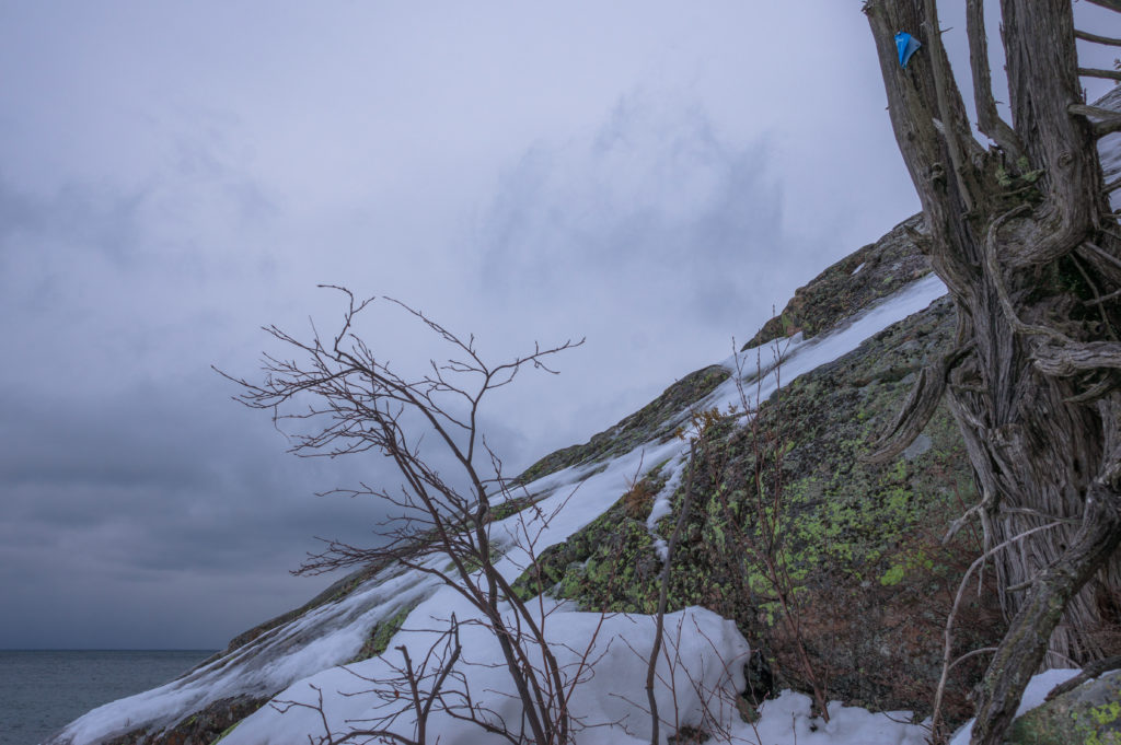
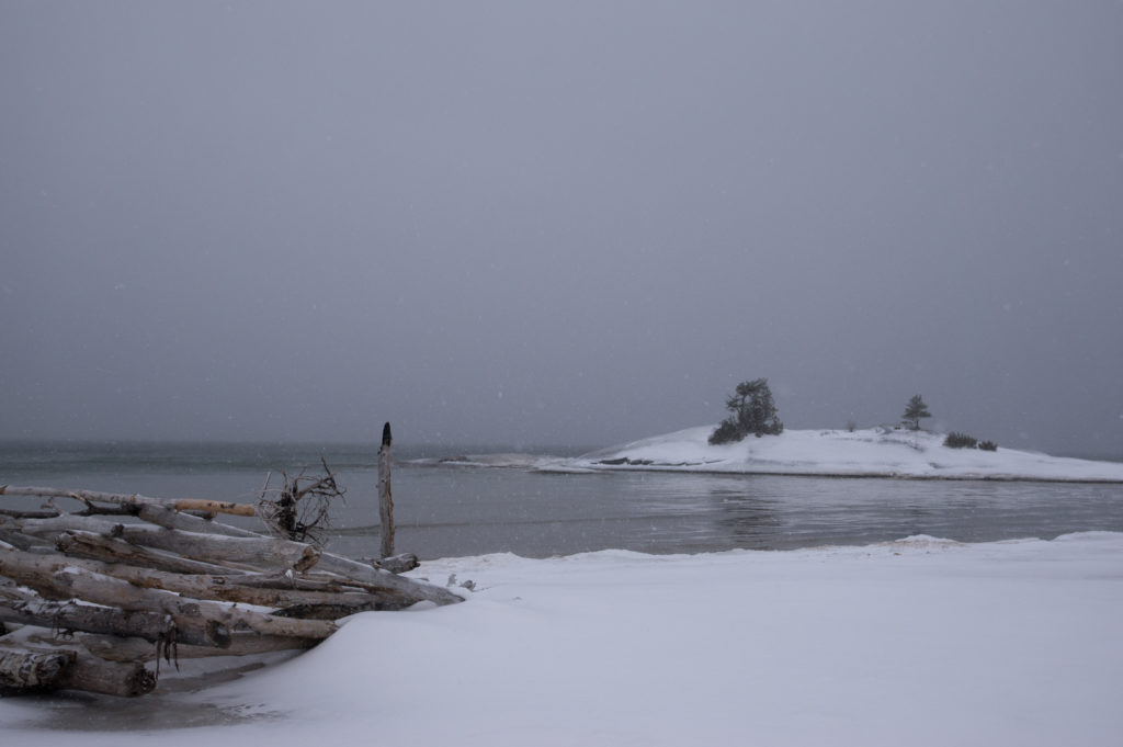
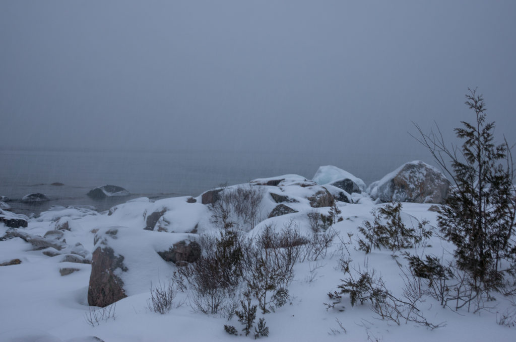
Given the continued rain, I kept my camera tucked away in my pack most of the day, but couldn’t resist pulling it out now and again for scenes like these. I was finding it very difficult though to capture the stark beauty of the Canadian Shield, but that didn’t stop me from trying
On a smooth slope with a gentle grade, I unexpectedly slipped and fell through a snow bridge, my left leg plunging in to mid thigh. Counterbalanced by my pack, I felt the strain in my knee before I could recover. The twinge would last for another 48 hours, a constant reminder that even the seemingly innocuous areas of the trail could have dangers hidden beneath the snow.
I continued on until dark. Coming to yet another rocky cove, I found a small campsite clearing in the trees and quickly threw up my tarp. The rain had really intensified at this point, and my rainsuit had apparently not done much to keep me dry. I was drenched, particularly where I had frequently contacted the snow while unintentionally glissading down icy slopes (ie my backside). Inside my shelter, I changed into dry layers and stuffed all my wet clothes into a plastic bag. I would use these as a pillow overnight to keep them warm. I was not going back outside for anything at this point, so I heated water using an esbit tab inside the shelter, pressing my face to the lower edge of the tarp to avoid the resulting fumes. The crash of the surf and the raindrops against my tarp lulled me into a cozy sleep. Waking briefly in the night, I snuggled deeper into my quilt, glad to be dry and warm.
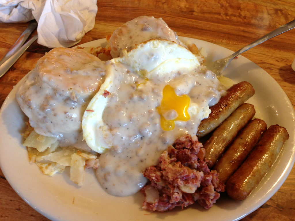
The next morning was overcast and cold, but I was relieved to see the rain had stopped. After an egg, sausage, and mushroom breakfast casserole and a hearty cup of coffee, I prepared to move on. Putting all of my wet clothing back on, I hiked briskly for the next several hours to allow my body heat to dry them. By 11 am, everything had been “reclaimed” except for my socks.
Over the course of the day, temperatures continued to drop and snow intensified. Crossing the frozen Barrett River, I came across a set of wolf tracks. While similar to the numerous coyote tracks in the area, the paws were so big you could fit at least 3 coyote prints inside. Locals would later tell me that the wolves were skittish and would run at the sight of humans. They had been known to steal dogs from the village in recent years though…
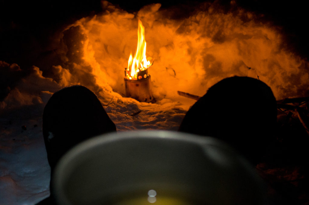
As the sun began to sink, I took shelter beneath a tree, my tarp quickly blending into the background. I enjoyed a mug full of Superior Jack by the woodstove as dinner, a hearty moose stew, rehydrated.
Snow continued to accumulate and I soon retired to my tarp for the night. By 3 am, it was noticeably cooler and I pulled on a light jacket before drifting back to sleep. Snowmobilers at the trailhead would later tell me that temperatures had dropped to -25 C that night.
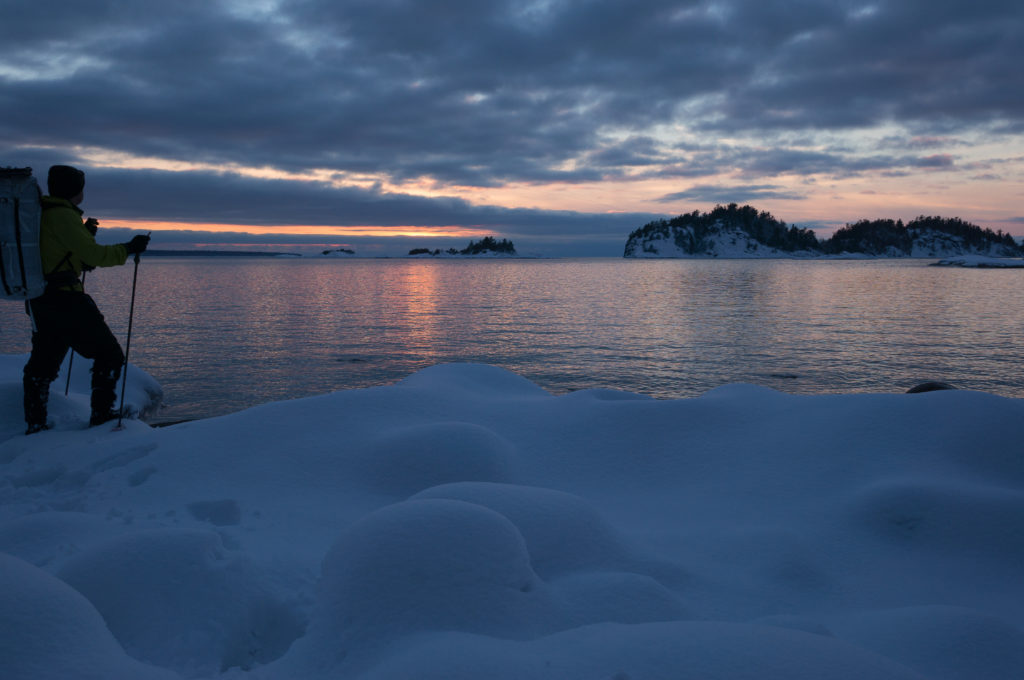
Unfortunately, time had run out. The next morning upon reaching Coldwater, I hiked out to the imperial highway and made my way back to my car on foot. Anticlimactically, I was able to cover the entire distance in about 6 hours, a tribute to the challenges of the route, but a blow to the ego nonetheless.
Post-trip thoughts:
As I developed my pictures, I quickly realized that I had failed to capture the wonder, challenge, stark beauty, and sheer fun of this amazing place. Given the time, I would return to finish this route in winter in a heartbeat, and I will surely return to see it again in other seasons.
Originally published January 2013
You may also enjoy reading: